Toggle navigation
LMEC Home
Exhibitions
Georeferencing
Tools for Teachers
Collections
My Favorites
Sign Up / Log In
Search
Search the map portal
Map Collection
Map Collection
Map Sets
Search
Search
Search for
Search In
All Fields
Creator
Title
Subject
Place
Search All Digital Collections
Advanced Search
995 Results
My Search
Start Over
More Like
commonwealth-oai:r4950j20f
Remove constraint More Like: commonwealth-oai:r4950j20f
Filter your Search
Place
North and Central America
967
United States
707
Canada
205
New York
192
Quebec
111
Massachusetts
107
Boston Harbor
66
Pennsylvania
60
more
Place
»
Topic
United States--History--Revolution, 1775-1783--Maps
330
United States--History--French and Indian War, 1754-1763--Maps
149
Boston Harbor (Mass.)--Maps
67
Saint Lawrence River--Maps
43
Boston (Mass.)--Maps
29
Newport (R.I.)--Maps
27
New York (State)--Maps
24
Hudson River (N.Y. and N.J.)--Maps
21
more
Topic
»
Date
Date range begin
–
Date range end
Current results range from
1700
to
1997
View distribution
Creator
Rocque, Mary Ann
29
Holland, Samuel, 1728-1801
25
Jefferys, Thomas, -1771
25
Montrésor, John, 1736-1799
25
Bellin, Jacques Nicolas, 1703-1772
24
Clinton, Henry, Sir, 1738?-1795
19
Robert Sayer and John Bennett (Firm)
16
Hills, John, active 1777-1819
13
more
Creator
»
Format
Maps/Atlases
979
Drawings/Illustrations
11
Documents
5
Manuscripts
4
Books
1
Posters
1
Prints
1
Georeferenced
Yes
10
No
985
Collection
American Revolutionary War-Era Maps
929
William L. Clements Library Collection
909
Norman B. Leventhal Map & Education Center Collection
66
Boston and New England Maps
60
Urban Maps
12
Mapping Boston Collection
10
Maritime Charts and Atlases
10
Maps from AAS
7
more
Collection
»
Available to use
No known restrictions
60
Creative Commons license
14
Search Constraints
Sort by relevance
relevance
title
date (asc)
date (desc)
Number of results to display per page
20 per page
10
per page
20
per page
50
per page
100
per page
View results as:
grid view
map view
Search Results
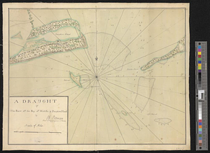
481.
The district of Main from the latest surveys
482.
A draft of the Ohio from an Indian account
483.
A draught of a route from Québec to Fort Halifax on the River Kennebec and back again to Québec by the rivers Chaudière and...
484.
Draught of a tract of land situate in Bucks County, in the Commonwealth of Pennsylvania divided in three parts, called...
485.
A draught of Massiac Lake, Maurepas, part of the river Amitt and the river Ibberville : copy from Lieut Ph: Pittman
486.
A draught of Ship & Catt islands and the opposite coast
487.
A draught of the barr off Mobile & Dauphine Island
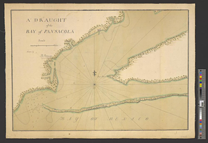
488.
A draught of the bay of Pansacola
489.
A draught of the harbor & river of Piscataqua with the Island's of Shoal's
490.
A draught of the harbor & river of Piscataqua with the Island's of Shoal's
491.
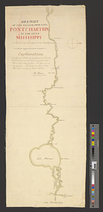
Draught of the passage from Lake Pontchartrin to the river Missisippi
492.
Draught of the river Delaware from Chester to Philadelphia
493.
A draught of the river Missisippi. From the Balise to Fort Cavendish : taken in the months of June, July, August, September,...
494.
Draught of the River Pittquioyack in the Bay of Fundy 1758
495.
Draught of the river St. Lawrence from Lake Ontario to Montreal
496.
A draught of the upper Creek nation, taken in May 1757
497.
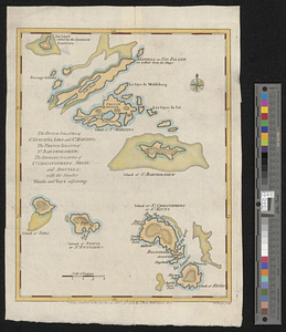
The Dutch islands of St. Eustatia, Saba, and St. Martins; the French island of St. Bartholomew; the English islands of St....
498.
An east view of Fort [Franklin] on French Creek
499.
Eastern section of the United States
500.
Ensign Nathan Mc:Dowell's draft of the water of big Beaver &c to Lake Erie
‹ Prev
Next ›
1
2
…
21
22
23
24
25
26
27
28
29
…
49
50


![An east view of Fort [Franklin] on French Creek](https://bpldcassets.blob.core.windows.net/derivatives/metadata/commonwealth-oai:dj5314216/image_thumbnail_300.jpg)