Toggle navigation
LMEC Home
Exhibitions
Georeferencing
Tools for Teachers
Collections
My Favorites
Sign Up / Log In
Search
Search the map portal
Map Collection
Map Collection
Map Sets
Search
Search
Search for
Search In
All Fields
Creator
Title
Subject
Place
Search All Digital Collections
Advanced Search
921 Results
My Search
Start Over
More Like
commonwealth-oai:nk326c34j
Remove constraint More Like: commonwealth-oai:nk326c34j
Filter your Search
Place
North and Central America
895
United States
628
Canada
216
New York
192
Quebec
111
Pennsylvania
60
Nova Scotia
56
New Jersey
54
more
Place
»
Topic
United States--History--Revolution, 1775-1783--Maps
305
United States--History--French and Indian War, 1754-1763--Maps
149
Saint Lawrence River--Maps
43
Newport (R.I.)--Maps
27
New York (State)--Maps
24
Hudson River (N.Y. and N.J.)--Maps
21
Québec (Québec)--Maps
21
Louisbourg (N.S.)--Maps
20
more
Topic
»
Date
Date range begin
–
Date range end
Current results range from
1700
to
1999
View distribution
Creator
Rocque, Mary Ann
29
Holland, Samuel, 1728-1801
25
Montrésor, John, 1736-1799
25
Bellin, Jacques Nicolas, 1703-1772
24
Jefferys, Thomas, -1771
24
Clinton, Henry, Sir, 1738?-1795
19
Robert Sayer and John Bennett (Firm)
15
Hills, John, active 1777-1819
13
more
Creator
»
Format
Maps/Atlases
905
Drawings/Illustrations
11
Documents
5
Prints
1
Georeferenced
No
921
Collection
American Revolutionary War-Era Maps
911
William L. Clements Library Collection
909
Norman B. Leventhal Map & Education Center Collection
10
Maritime Charts and Atlases
3
American Antiquarian Society Collection
1
Richard H. Brown Revolutionary War Map Collection at Mount Vernon
1
Available to use
No known restrictions
10
Creative Commons license
1
Search Constraints
Sort by relevance
relevance
title
date (asc)
date (desc)
Number of results to display per page
20 per page
10
per page
20
per page
50
per page
100
per page
View results as:
grid view
map view
Search Results
1.
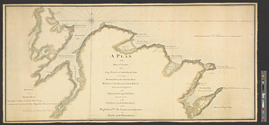
A plan of the sea coast from Gage Point to Cumberland Cape including Dartmouth and Granby Bays with the coal mines in that...
2.
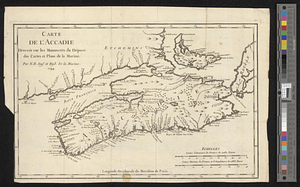
Carte de l'Accadie : dressée sur les manuscrits de Dépot des Cartes et Plans de la Marine
3.
A chart of the peninsula of Nova Scotia
4.
An exact map of Nova Scotia, Newfoundland, gulf and river St. Laurence, and coast of Labrador from the latest observations 1777
5.
A new and accurate map of the province of Nova Scotia, in North America; from the latest observations
6.
A rude sketch of a part of the road between the township of Horton and Granville on the river of Annapolis, relative to a...
7.
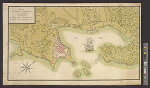
Gabarus Bay
8.
Louisbourg, latitude 45⁰ 50' north
9.
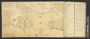
Map of the British landings at Louisbourg
10.
A new and accurate map of the English empire in North America : representing their rightful claim as confirm'd by charters, and...
11.
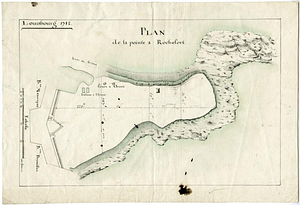
Plan de la pointe à Rochefort
12.
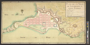
Plan de la ville de Louisbourg à l'Isle Royale
13.
Plan du port et de la ville de Louisbourg en l'Isle Royale et des attaques faites par les Anglois pandent le siege depuis le 8...
14.
Plan du port et de la ville de Louisbourg en l'Isle Royale, et des Attaques faites par les Anglois pendant le Siége depuis le 8...
15.
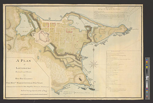
A plan of Louisbourg : intended only to shew by strong red the publick buildings lately erected; and by the faint red such as...
16.
A plan of Louisbourg survey'd and drawn for his excellency the honble. Major General Thos. Gage commander in chief of his...
17.
A plan of Louisbourg survey'd and drawn for his excellency the honble. Major General Thos. Gage commander in chief of his...
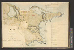
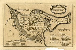
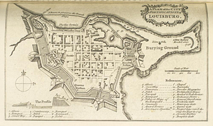
18.
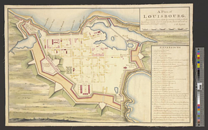
A plan of the city & fortifications of Louisbourg
19.
A plan of the city & fortifications of Louisbourg
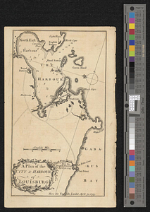
20.
A plan of the city & harbor of Louisburg
‹ Prev
Next ›
1
2
3
4
5
…
46
47