Toggle navigation
LMEC Home
Exhibitions
Georeferencing
Tools for Teachers
Collections
My Favorites
Sign Up / Log In
Search
Search the map portal
Map Collection
Map Collection
Map Sets
Search
Search
Search for
Search In
All Fields
Creator
Title
Subject
Place
Search All Digital Collections
Advanced Search
947 Results
My Search
Start Over
More Like
commonwealth-oai:b5648r764
Remove constraint More Like: commonwealth-oai:b5648r764
Filter your Search
Place
North and Central America
913
United States
641
Canada
222
New York
193
Quebec
111
Pennsylvania
60
New Jersey
54
Nova Scotia
48
more
Place
»
Topic
United States--History--Revolution, 1775-1783--Maps
305
United States--History--French and Indian War, 1754-1763--Maps
161
Saint Lawrence River--Maps
46
Newport (R.I.)--Maps
27
Québec (Québec)--Maps
27
New York (State)--Maps
25
Hudson River (N.Y. and N.J.)--Maps
21
East (U.S.)--Maps
20
more
Topic
»
Date
Date range begin
–
Date range end
Current results range from
1700
to
1990
View distribution
Creator
Rocque, Mary Ann
29
Jefferys, Thomas, -1771
28
Holland, Samuel, 1728-1801
26
Montrésor, John, 1736-1799
25
Bellin, Jacques Nicolas, 1703-1772
24
Clinton, Henry, Sir, 1738?-1795
19
Robert Sayer and John Bennett (Firm)
15
Orme, Robert, -1781
14
more
Creator
»
Format
Maps/Atlases
931
Drawings/Illustrations
11
Documents
5
Prints
1
Georeferenced
Yes
2
No
945
Collection
American Revolutionary War-Era Maps
937
William L. Clements Library Collection
909
Norman B. Leventhal Map & Education Center Collection
14
Library and Archives Canada Collection
9
Richard H. Brown Revolutionary War Map Collection at Mount Vernon
5
American Antiquarian Society Collection
4
Library of Congress Collection
3
Maritime Charts and Atlases
2
more
Collection
»
Available to use
No known restrictions
16
Creative Commons license
8
Search Constraints
Sort by relevance
relevance
title
date (asc)
date (desc)
Number of results to display per page
20 per page
10
per page
20
per page
50
per page
100
per page
View results as:
grid view
map view
Search Results
781.
Plano de la costa de la Luciana decide el cabo de Loso hasta el cabo de San Blas sacado por los Yngs. el ano de 1769 con sur...
782.
Plano de los Tres Rios de Valiz, Nuevo, y Hondo, situados entre et Golfo Dulce o provincia de Goatemala y de la Yucatan en et...
783.
Plano de Puerto Rico
784.
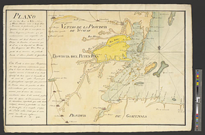
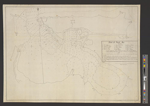
Plano del archipielago de Carrasco situado en la latd. N de 48 [degrees] 51', lond. 2 [degrees] al o. de sn. Blas reconocido el...
785.
Plano del lago o rio de Movila situada su pta. en lt. N 30.10 en logd. 284.40 ms. Sacado se a consido consus nombres costas...
786.
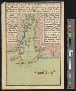
Plano del puerto de Floridablanca situado en la latd. N. de 54 [degrees] 16' longitud 28 [degrees] 15' al o de S. Blas...
787.
Plano del puerto de Gaston situado en la latitude N de 53 [degrees] 28' longd 24 [degrees] 21 al o de S. Blas descubierto este ano
788.
Plano del puerto de Panzacola en el qe. se manifiestan las marchas, campamentos y ataque de las tropas Espanolas : al mando del...
789.
Plat of lands at Paulus Hook, New Jersey
790.
A plot of Wm Young's land including Delaware paper mill
791.
Portsmouth
792.
Portsmouth and Norfolk
793.
Position of the army near Iron Hill
794.
Position of the troops under Earl Cornwallis on the 28 and 29th September 1781; when the enemy first appeared
795.
Positions of the British troops between the Hudson River and the Bronx River at Valentine's Hill
796.
Post road & Kaskutahook
797.
Posts of the Hudson's Bay Company 1790
798.
The principal part of the province of New Jersey shewing the road and distances to the several towns between the North River...
799.
Progress of the British army from Elk River to Philadelphia, 1777
800.
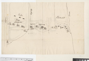
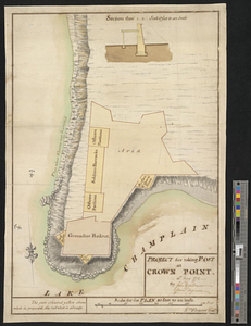
Project for taking post at Crown Point, 13th May 1774 : 13th May 1774
‹ Prev
Next ›
1
2
…
36
37
38
39
40
41
42
43
44
…
47
48
![Plano del archipielago de Carrasco situado en la latd. N de 48 [degrees] 51', lond. 2 [degrees] al o. de sn. Blas reconocido el los anos de 89 y 91](https://bpldcassets.blob.core.windows.net/derivatives/metadata/commonwealth-oai:8s45v8369/image_thumbnail_300.jpg)
![Plano del puerto de Floridablanca situado en la latd. N. de 54 [degrees] 16' longitud 28 [degrees] 15' al o de S. Blas descuvierto este ano](https://bpldcassets.blob.core.windows.net/derivatives/metadata/commonwealth-oai:2227rn003/image_thumbnail_300.jpg)
![Plano del puerto de Gaston situado en la latitude N de 53 [degrees] 28' longd 24 [degrees] 21 al o de S. Blas descubierto este ano](https://bpldcassets.blob.core.windows.net/derivatives/metadata/commonwealth-oai:c534kn51x/image_thumbnail_300.jpg)