Toggle navigation
LMEC Home
Exhibitions
Georeferencing
Tools for Teachers
Collections
My Favorites
Sign Up / Log In
Search
Search the map portal
Map Collection
Map Collection
Map Sets
Search
Search
Search for
Search In
All Fields
Creator
Title
Subject
Place
Search All Digital Collections
Advanced Search
1000 Results
My Search
Start Over
More Like
commonwealth-oai:b2777s68s
Remove constraint More Like: commonwealth-oai:b2777s68s
Filter your Search
Place
North and Central America
972
United States
704
Canada
206
New York
201
Quebec
112
Pennsylvania
91
New Jersey
79
Nova Scotia
48
more
Place
»
Topic
United States--History--Revolution, 1775-1783--Maps
330
United States--History--French and Indian War, 1754-1763--Maps
149
Pennsylvania--Maps
50
Saint Lawrence River--Maps
43
New Jersey--Maps
40
New York (State)--Maps
34
Newport (R.I.)--Maps
27
Maryland--Maps
25
more
Topic
»
Date
Date range begin
–
Date range end
Current results range from
1700
to
1921
View distribution
Creator
Rocque, Mary Ann
29
Holland, Samuel, 1728-1801
26
Bellin, Jacques Nicolas, 1703-1772
25
Jefferys, Thomas, -1771
25
Montrésor, John, 1736-1799
25
Clinton, Henry, Sir, 1738?-1795
19
Robert Sayer and John Bennett (Firm)
16
Kitchin, Thomas, 1719-1784
13
more
Creator
»
Format
Maps/Atlases
984
Drawings/Illustrations
11
Documents
5
Manuscripts
5
Prints
1
Georeferenced
Yes
27
No
973
Collection
American Revolutionary War-Era Maps
945
William L. Clements Library Collection
909
Norman B. Leventhal Map & Education Center Collection
60
American Antiquarian Society Collection
15
MacLean Collection Map Library
6
Boston and New England Maps
5
Urban Maps
5
Newberry Library Collection
3
more
Collection
»
Available to use
No known restrictions
62
Creative Commons license
5
Search Constraints
Sort by relevance
relevance
title
date (asc)
date (desc)
Number of results to display per page
20 per page
10
per page
20
per page
50
per page
100
per page
View results as:
grid view
map view
Search Results
841.
Plan of the harbor of Halifax in Nova Scotia
842.
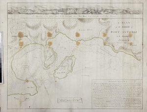
A plan of the harbors of Port Antonio in the island of Jamaica : survey'd 1770
843.
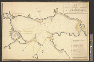
Plan of the harbour and fortifications of Louisbourg : the harbour survey'd by Capt. Phillip Durell: the town and...
844.
Plan of the harbour of Charles Town, South Carolina
845.
Plan of the harbour of Halifax
846.
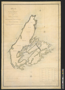
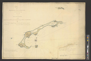
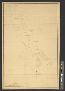
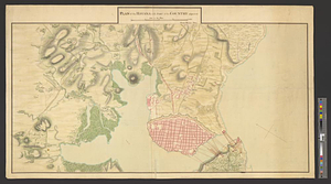
A plan of the harbour of Louisbourg with the adjacent country survey'd by Samuel Holland esqr. surveyer [sic] general for the...
847.
Plan of the harbour of New-York and parts adjacent
848.
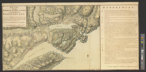
Plan of the harbour town and fort of St. Iohns in Newfoundland with part of the country adjacent, shewing the operations...
849.
A plan of the harbour's and town's, of Kingston and Port-Royal in the island of Jamaica, and of their environs : carefully laid...
850.
Plan of the Havana with part of the country adjacent
851.
A plan of the Ibberville from the Missisippi to Anatamaha
852.
A plan of the Indian boundary line [torn] : from Atchtickpi to the Buckatanne; and from the line at [torn] Buckatanne to the...
853.
A plan of the island of Cape Britain reduced from the large survey made by the orders and instructions of the right honorable...
854.
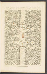
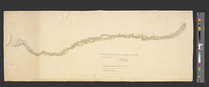
A plan of the line of march of the detachment from the Little Meadows
855.
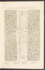
A plan of the line of march with the whole baggage
856.
A plan of the Magdelain, Brion, Bird and Entry islands reduced from the large survey made agreable to the orders and...
857.
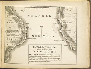
Plan of the narrows about 10 miles from New York
858.
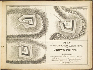
Plan of the new fort & redoubts, at Crown Point
859.
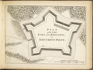
Plan of the new fort and redoubts, at New Crown Point
860.
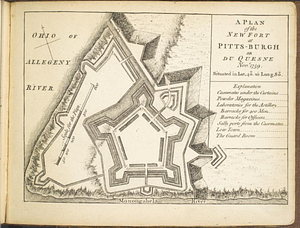
A plan of the new fort at Pitts-Burgh or Du Quesne Novr. 1759 : situated in lat. 40 20' long. 80
‹ Prev
Next ›
1
2
…
39
40
41
42
43
44
45
46
47
…
49
50

![A plan of the harbour of Louisbourg with the adjacent country survey'd by Samuel Holland esqr. surveyer [sic] general for the northern district of North America](https://bpldcassets.blob.core.windows.net/derivatives/metadata/commonwealth-oai:fx71fk83p/image_thumbnail_300.jpg)


![A plan of the Indian boundary line [torn]](https://bpldcassets.blob.core.windows.net/derivatives/metadata/commonwealth-oai:gh93mw53c/image_thumbnail_300.jpg)