Toggle navigation
LMEC Home
Exhibitions
Georeferencing
Tools for Teachers
Collections
My Favorites
Sign Up / Log In
Search
Search the map portal
Map Collection
Map Collection
Map Sets
Search
Search
Search for
Search In
All Fields
Creator
Title
Subject
Place
Search All Digital Collections
Advanced Search
1676 Results
My Search
Start Over
More Like
commonwealth-oai:8w32w3649
Remove constraint More Like: commonwealth-oai:8w32w3649
Filter your Search
Place
North and Central America
1,647
United States
1,384
Suffolk (county)
761
Boston
754
Massachusetts
670
Canada
205
New York
195
Quebec
111
more
Place
»
Topic
Boston (Mass.)--Maps
752
United States--History--Revolution, 1775-1783--Maps
330
United States--History--French and Indian War, 1754-1763--Maps
149
City planning--Massachusetts--Boston--Maps
104
Real property--Massachusetts--Boston--Maps
99
Landowners--Massachusetts--Boston--Maps
74
Urban renewal--Massachusetts--Boston--Maps
63
Massachusetts--Maps
55
more
Topic
»
Date
Date range begin
–
Date range end
Current results range from
1700
to
2023
View distribution
Creator
Boston Redevelopment Authority
114
Rocque, Mary Ann
29
Geo. H. Walker & Co
27
Holland, Samuel, 1728-1801
25
Jefferys, Thomas, -1771
25
Montrésor, John, 1736-1799
25
Bellin, Jacques Nicolas, 1703-1772
24
Boynton, George W., d. 1884
21
more
Creator
»
Format
Maps/Atlases
1,660
Manuscripts
13
Drawings/Illustrations
11
Documents
5
Prints
1
Georeferenced
Yes
97
No
1,579
Collection
American Revolutionary War-Era Maps
942
William L. Clements Library Collection
909
Norman B. Leventhal Map & Education Center Collection
623
Boston and New England Maps
584
Urban Maps
493
Boston Redevelopment Authority Collection
120
Mapping Boston Collection
20
American Antiquarian Society Collection
14
more
Collection
»
Available to use
No known restrictions
696
Creative Commons license
38
Search Constraints
Sort by relevance
relevance
title
date (asc)
date (desc)
Number of results to display per page
20 per page
10
per page
20
per page
50
per page
100
per page
View results as:
grid view
map view
Search Results
221.
Position of the army near Iron Hill
222.
Position of the troops under Earl Cornwallis on the 28 and 29th September 1781; when the enemy first appeared
223.
Positions of the British troops between the Hudson River and the Bronx River at Valentine's Hill
224.
The principal part of the province of New Jersey shewing the road and distances to the several towns between the North River...
225.
Progress of the British army from Elk River to Philadelphia, 1777
226.
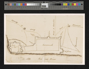
Proposed fortifications for Savannah
227.
Proposed redoubt at Canoe Place
228.
Providence and Newport
229.
The Rahway River valley, ca. 1780
230.
Reconnoissance des ouvrages de Ouët Point : etablis pour couvrir et assurer la communication des états du nord avec ceux du...
231.
Region between Westchester Creek and the Bronx River
232.
The road from New Bridge and Hackinsack to Burlington
233.
A rough draught of New Haven fort
234.
Sandy Hook, New Jersey
235.
Savannah and its defenses
236.
Savannah River and Savannah Sound
237.
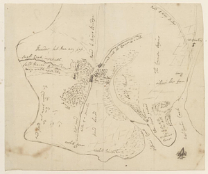
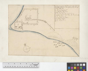
A scetch [sic] of that part of Statten island from the Old Star [Ferry] to Deckers Ferry and the lands lying to the westd. of...
238.
Schauplatz des kriegs zwischen Engelland und seinen collonien in America nach richtigen carten gezeichnet und in diese form...
239.
The seat of action between the British and American forces or an authentic plan of Staten Island with the neighbouring...
240.
The seat of action, between the British and American forces or an authentic plan of the western part of Long Island, with the...
‹ Prev
Next ›
1
2
…
8
9
10
11
12
13
14
15
16
…
83
84


![A scetch [sic] of that part of Statten island from the Old Star [Ferry] to Deckers Ferry and the lands lying to the westd. of the road leading from Deckers Ferry to the Old Star made from a view of the same by Thomas Millidge major of the 5th battn. of N: J V](https://bpldcassets.blob.core.windows.net/derivatives/metadata/commonwealth-oai:1831hj84z/image_thumbnail_300.jpg)