Toggle navigation
LMEC Home
Exhibitions
Georeferencing
Tools for Teachers
Collections
My Favorites
Sign Up / Log In
Search
Search the map portal
Map Collection
Map Collection
Map Sets
Search
Search
Search for
Search In
All Fields
Creator
Title
Subject
Place
Search All Digital Collections
Advanced Search
1022 Results
My Search
Start Over
More Like
commonwealth-oai:3r078t53z
Remove constraint More Like: commonwealth-oai:3r078t53z
Filter your Search
Place
North and Central America
996
United States
732
Canada
205
New York
192
Quebec
111
Pennsylvania
60
New Jersey
54
Louisiana
53
more
Place
»
Topic
United States--History--Revolution, 1775-1783--Maps
305
United States--History--French and Indian War, 1754-1763--Maps
149
Saint Lawrence River--Maps
43
Louisiana--Maps
36
Newport (R.I.)--Maps
27
New York (State)--Maps
24
Kentucky--Maps
23
Hudson River (N.Y. and N.J.)--Maps
21
more
Topic
»
Date
Date range begin
–
Date range end
Current results range from
1700
to
1986
View distribution
Creator
Rocque, Mary Ann
29
Bellin, Jacques Nicolas, 1703-1772
25
Holland, Samuel, 1728-1801
25
Montrésor, John, 1736-1799
25
Jefferys, Thomas, -1771
24
United States. Post Office Dept
22
Clinton, Henry, Sir, 1738?-1795
19
Geological Survey (U.S.)
18
more
Creator
»
Format
Maps/Atlases
1,006
Drawings/Illustrations
11
Documents
5
Prints
1
Georeferenced
Yes
21
No
1,001
Collection
American Revolutionary War-Era Maps
918
William L. Clements Library Collection
909
Norman B. Leventhal Map & Education Center Collection
105
MacLean Collection Map Library
4
American Antiquarian Society Collection
3
Maritime Charts and Atlases
1
Massachusetts Historical Society Map Collection
1
Available to use
No known restrictions
104
Creative Commons license
2
Search Constraints
Sort by relevance
relevance
title
date (asc)
date (desc)
Number of results to display per page
20 per page
10
per page
20
per page
50
per page
100
per page
View results as:
grid view
map view
Search Results
561.
Paulus Hook
562.
Paulus Hook and Bergen : surveyed and draughted from the 22d. to 29th June 1781
563.
Penobscot Bay
564.
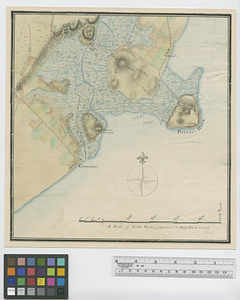
Pensacola
565.
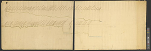
[Perspecti]ve view of the environs of [Bosto]n from Beacon Hill shewing the rebels [works?] & encampmentss, July 22d, 1775
566.
Philadelphia : dedicated to his excellency Sir Henry Clinton K.B. general and commander in chief of his majesty's forces,...
567.
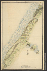
Philadelphia
568.
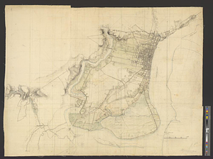
Phillipse Manor
569.
A plan & section of a survey taken April 20, 1801 on a new prepared course for the Middlesex Canal, from the south end of...
570.
Plan and elevation of a stockade work, with block-house bastions; designed for the defence of the settlement of Coleraine, on...
571.
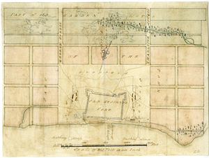
Plan and profile of retrenched work round Harkemeis house at ye German Flats 1756
572.
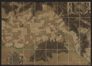
Plan and project, for fortifying the high commanding ground at the church of Deschambeaux as also the island of Richlieu [sic]
573.
A plan and section of the two routs in Woburn, say 1795 : Middlesex Canal
574.
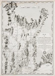
Plan de la baie de Narragansett dans la Nouvelle Angleterre avec toutes les îles qu'elle renferme parmi lesquelles se trouvent...
575.
Plan de la baye de Cartagene dans l'Amérique
576.
Plan de la plaine du Cap François en l'Isle St. Domingue : redigé d'après les dernières opérations géometriques des ingénieurs...
577.
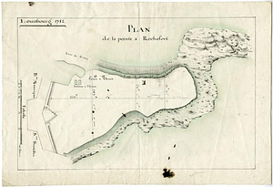
Plan de la pointe à Rochefort
578.
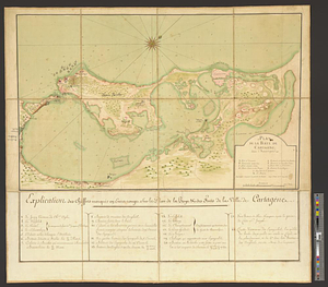
Plan de la rade de la ville du Carénage, isle Ste. Lucie
579.
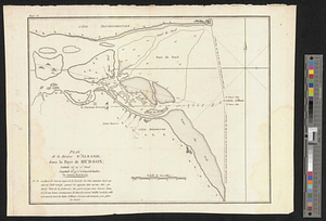
Plan de la rivière d'Albanie dans la baye de Hudson
580.
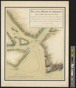
Plan de la rivière de Serraleone depuis son embouchûre jusqu'à l'ile de Banse : corrigé d'aprés celui de Smith, sur les...
‹ Prev
Next ›
1
2
…
25
26
27
28
29
30
31
32
33
…
51
52

![[Perspecti]ve view of the environs of [Bosto]n from Beacon Hill shewing the rebels [works?] & encampmentss, July 22d, 1775](https://bpldcassets.blob.core.windows.net/derivatives/metadata/commonwealth-oai:6d573t29z/image_thumbnail_300.jpg)

![Plan and project, for fortifying the high commanding ground at the church of Deschambeaux as also the island of Richlieu [sic]](https://bpldcassets.blob.core.windows.net/derivatives/metadata/commonwealth-oai:pz50mt24s/image_thumbnail_300.jpg)