Toggle navigation
LMEC Home
Exhibitions
Georeferencing
Tools for Teachers
Collections
My Favorites
Sign Up / Log In
Search
Search the map portal
Map Collection
Map Collection
Map Sets
Search
Search
Search for
Search In
All Fields
Creator
Title
Subject
Place
Search All Digital Collections
Advanced Search
622 Results
My Search
Start Over
More Like
commonwealth:z603vs95d
Remove constraint More Like: commonwealth:z603vs95d
Filter your Search
Place
North and Central America
553
United States
456
New York
113
New Jersey
60
Suffolk (county)
55
Boston
48
Canada
41
Charleston (county)
34
more
Place
»
Topic
United States--History--Revolution, 1775-1783--Maps
330
Newport (R.I.)--Maps
24
North America--Maps--Early works to 1800
18
Boston (Mass.)--History--Revolution, 1775-1783--Maps--Early works to 1800
17
Charleston (S.C.)--Maps
16
Hudson River (N.Y. and N.J.)--Maps
15
New Jersey--Maps
14
Yorktown (Va.)--History--Siege, 1781--Maps
14
more
Topic
»
Date
Date range begin
–
Date range end
Current results range from
1740
to
1881
View distribution
Creator
Faden, William, 1749-1836
41
Jefferys, Thomas, -1771
30
Le Rouge, Georges-Louis
23
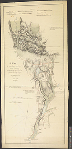
Des Barres, Joseph F. W. (Joseph Frederick Wallet), 1722-1824
22
Sayer, Robert, 1725-1794
19
Clinton, Henry, Sir, 1738?-1795
17
Hills, John, active 1777-1819
13
André, John, 1751-1780
11
more
Creator
»
Format
Maps/Atlases
574
Prints
32
Manuscripts
26
Drawings/Illustrations
14
Books
2
Georeferenced
Yes
14
No
608
Collection
American Revolutionary War-Era Maps
615
William L. Clements Library Collection
305
Richard H. Brown Revolutionary War Map Collection at Mount Vernon
293
Boston and New England Maps
9
Norman B. Leventhal Map & Education Center Collection
8
Maps from AAS
7
Urban Maps
5
Newberry Library Collection
3
more
Collection
»
Available to use
Creative Commons license
295
No known restrictions
10
Search Constraints
Sort by relevance
relevance
title
date (asc)
date (desc)
Number of results to display per page
20 per page
10
per page
20
per page
50
per page
100
per page
View results as:
grid view
map view
Search Results
81.
Lines of Charleston
82.
Long Island
83.
Map of American camp in New Jersey and surrounding countryside
84.
Map of New York I. with the adjacent rocks and other remarkable parts of Hell-Gate
85.
A map of that part of Pensylvania now the principle seat of war in America wherein may be seen the situation of Philadelphia,...
86.
A map of the country adjacent to Kingsbridge, surveyed by order of his excellency General Sir Henry Clinton K.B., commander in...
87.
A map of the environs of Boston
88.
A map of the environs of Brooklyn : surveyed by order of his excellency General Sir Henry Clinton K.B., commander in chief of...
89.
A map of the pass at Jamaica, Long Island : surveyed by order of his excellency General Sir Henry Clinton K:B: commander in...
90.
Map of the powers at war with Great Britain, 1783
91.
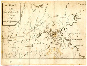
Map of the seat of the late war at Boston in the state of Massachusetts
92.
A Map of the seat of the late war at Boston in the state of Massachusetts
93.
Map of the vicinity of Yorktown, Virginia, 1881
94.
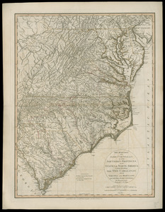
The marches of Lord Cornwallis in the Southern Provinces, now states of North America : comprehending the two Carolinas, with...
95.
Monmouth County, New Jersey
96.
Moore's sketch of the navigation of the Highlands
97.
Narragansett Bay and Rhode Island
98.
A new and correct plan of the town of Boston
99.
The New York campaign of 1776
100.
The New York campaign of 1776
‹ Prev
Next ›
1
2
3
4
5
6
7
8
9
…
31
32