Toggle navigation
LMEC Home
Exhibitions
Georeferencing
Tools for Teachers
Collections
My Favorites
Sign Up / Log In
Search
Search the map portal
Map Collection
Map Collection
Map Sets
Search
Search
Search for
Search In
All Fields
Creator
Title
Subject
Place
Search All Digital Collections
Advanced Search
295 Results
My Search
Start Over
More Like
commonwealth:z603vp30z
Remove constraint More Like: commonwealth:z603vp30z
Filter your Search
Place
North America
235
North and Central America
221
United States
59
Canada
18
New Jersey
9
Northeastern United States
8
South America
8
Middle Atlantic
7
more
Place
»
Topic
North America--Maps--Early works to 1800
240
United States--Maps--Early works to 1800
26
Great Britain--Colonies--America--Maps--Early works to 1800
22
Canada--Maps--Early works to 1800
13
British--America--Maps--Early works to 1800
9
Northeastern States--Maps--Early works to 1800
8
South America--Maps--Early works to 1800
8
West Indies--Maps--Early works to 1800
8
more
Topic
»
Date
Date range begin
–
Date range end
Current results range from
1528
to
1899
View distribution
Creator
Mitchell, John, 1711-1768
18
Gibson, J. (John), active 1750-1792
16
Sayer, Robert, 1725-1794
16
Jefferys, Thomas, -1771
14
Anville, Jean Baptiste Bourguignon d', 1697-1782
13
Bowen, Emanuel, 1693 or 1694-1767
11
Moll, Herman, d. 1732
11
Kitchin, Thomas, 1719-1784
10
more
Creator
»
Format
Maps/Atlases
295
Manuscripts
2
Georeferenced
Yes
10
No
285
Collection
American Revolutionary War-Era Maps
230
Norman B. Leventhal Map & Education Center Collection
116
New York Public Library Collection
83
MacLean Collection Map Library
59
Richard H. Brown Revolutionary War Map Collection at Mount Vernon
18
Mapping Boston Collection
10
Sidney R. Knafel Map Collection at Phillips Academy
8
British Library Collection
3
more
Collection
»
Available to use
Creative Commons license
115
No known restrictions
110
Search Constraints
Sort by relevance
relevance
title
date (asc)
date (desc)
Number of results to display per page
20 per page
10
per page
20
per page
50
per page
100
per page
View results as:
grid view
map view
Search Results
21.
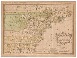
Carte des possessions angloises & françoises du continent de l'Amérique Septentrionale = A map of the British and French...
22.
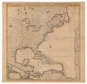
Carte générale de l'Amérique séptentrionale avec les posséssions angloises dans cette partie du nouveau monde
23.
Carte nouvelle de l'Amérique Angloise contenant tout ce que les Anglois possédent sur le continent de l'Amérique...
24.
A new and correct map of North America; with the West India Islands : divided according to the last treaty of peace, concluded...
25.
A New and correct map of the British colonies in North America comprehending eastern Canada with the province of Quebec, New...
26.
Nieuwe kaart van de Grootbrittannische volkplantingen in Noord America : waar in tevens de Fransche bezittingen en de Landen,...
27.
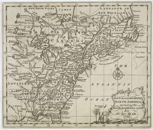
A New & accurate map of North America : including the British acquisitions gained by the late war, 1763
28.
Acurate charte von Nord-America : aus dem besten quellen
29.
America settentrionale divisa ne' suoi principali stati
30.
Amerique septentrionale divisée en ses principales parties
31.
An exact map of North America : from the best authorities
32.
Mappa geographica Americae Septentrionalis : ad emendatiora exemplaria adhuc edita jussu Acad. reg. scient. et eleg. litt....
33.
New & accurate map of North America : with the new discovered islands on the north east coast of Asia
34.
A new & accurate map of North America : drawn from the most authentic modern maps and charts
35.
A new and accurate map of North America
36.
A New map of North America with the West India Islands : divided according to the preliminary articles of peace, signed at...
37.
North America
38.
North America
39.
North America
40.
North America, agreeable to the most approved maps and charts
‹ Prev
Next ›
1
2
3
4
5
6
…
14
15