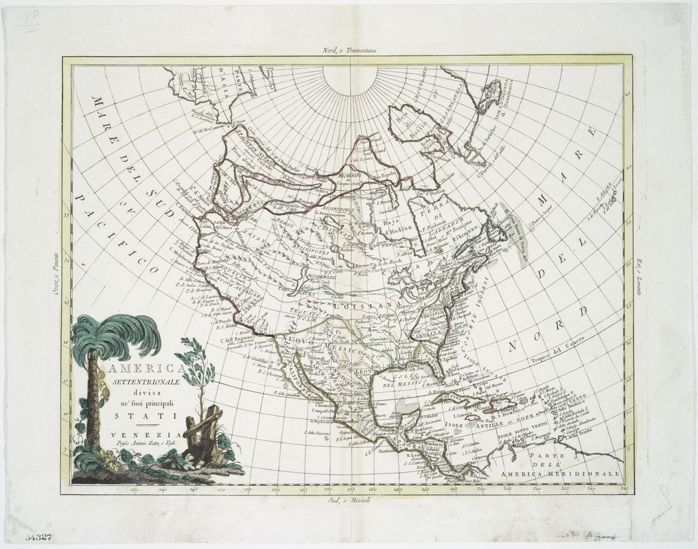
America settentrionale divisa ne' suoi principali stati
This map is also available in American Revolutionary Geographies Online (ARGO), a collections portal especially built for material relating to the American Revolutionary War Era. Visit ARGO to learn more about this item and explore the historical geography of North America in the late eighteenth century.
Item Information
- Title:
- America settentrionale divisa ne' suoi principali stati
- Creator:
- Antonio Zatta e figli
- Date:
-
[1785]
- Format:
-
Maps/Atlases
- Location:
- New York Public Library
- Collection (local):
-
Maps of North America
- Subjects:
-
North America--Maps--Early works to 1800
- Places:
-
North America (area)
- Extent:
- col. map 31 x 41 cm.
- Terms of Use:
-
No known copyright restrictions.
This work is licensed for use under a Creative Commons Attribution Non-Commercial Share Alike License (CC BY-NC-SA).

- Scale:
-
Scale ca. 1:21,500,000
- Language:
-
Italian
- Catalog Record:
-
https://digitalcollections.nypl.org/items/510d47da-f0af-a3d9-e040-e00a18064a99
- Notes:
-
Hand colored.
Relief shown pictorially.
From the authors' Atlante novissimo. 1785 v. 4, no. 23.
- Notes (date):
-
This date is inferred.
- LCCN:
-
74694266


