Toggle navigation
LMEC Home
Exhibitions
Georeferencing
Tools for Teachers
Collections
My Favorites
Sign Up / Log In
Search
Search the map portal
Map Collection
Map Collection
Map Sets
Search
Search
Search for
Search In
All Fields
Creator
Title
Subject
Place
Search All Digital Collections
Advanced Search
224 Results
My Search
Start Over
More Like
commonwealth:z603vm918
Remove constraint More Like: commonwealth:z603vm918
Filter your Search
Place
North and Central America
197
United States
112
Canada
86
North America
18
New France
16
Great Lakes Region
9
Saint Lawrence River
9
New England
8
more
Place
»
Topic
Manuscript maps--Early works to 1800
138
Canada--Maps--Early works to 1800
79
United States--Maps--Early works to 1800
26
North America--Maps--Early works to 1800
16
New France--Maps--Early works to 1800
10
Great Lakes Region (North America)--Maps--Early works to 1800
9
New England--Maps--Early works to 1800
8
New France--Maps
7
more
Topic
»
Date
Date range begin
–
Date range end
Current results range from
1565
to
1899
View distribution
Creator
Bellin, Jacques Nicolas, 1703-1772
15
Dumont de Montigny
14
Adlum, John, 1759-1836
9
Bingham, William, 1752-1804
9
Kitchin, Thomas, 1719-1784
5
Anville, Jean Baptiste Bourguignon d', 1697-1782
4
Bonne, Rigobert, 1727-1794
4
De Brahm, John Gerar William, 1717-approximately 1799
4
more
Creator
»
Format
Maps/Atlases
224
Manuscripts
140
Georeferenced
Yes
3
No
221
Collection
American Revolutionary War-Era Maps
206
Library of Congress Collection
97
Newberry Library Collection
39
MacLean Collection Map Library
38
Norman B. Leventhal Map & Education Center Collection
32
Maritime Charts and Atlases
18
Library and Archives Canada Collection
8
Urban Maps
8
more
Collection
»
Available to use
Creative Commons license
107
No known restrictions
31
Search Constraints
Sort by relevance
relevance
title
date (asc)
date (desc)
Number of results to display per page
20 per page
10
per page
20
per page
50
per page
100
per page
View results as:
grid view
map view
Search Results
161.
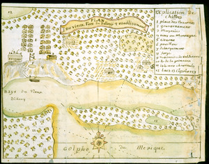
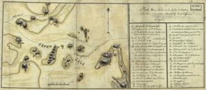
Plan du vieux Fort du Billoxi, 2 etablissement
162.
Plan d'une partie de la rade de Boston pour faire connaitre le dispositif de ses deffenses
163.
Plan of a rout undertaken in winter, Jany. 26th : from Quebec, the capital of Canada, to the frontier settlements of the...
164.
A plan of a survey made to explore the country for a road between Connecticut River & St. Francis
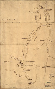
165.
A plan of Becket protracted by a scale of 120 rods to an inch
166.
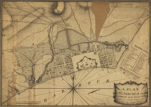
A plan of Pensacola and its environs in its present state : from an actual survey in 1778
167.
Plan of the attack on Fort William Henry and Ticonderoga : showing the road from Fort Edward, Montcalm's camp and wharf of...
168.
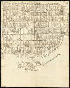
A Plan of the Battle of Bunker Hill
169.
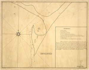
A plan of the bay and harbor of Boston : surveyed agreeably to the orders and instructions of the Right Honorable the Lords...
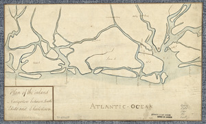
170.
Plan of the city intended for the permanent seat of the government of t[he] United States : projected agreeable to the...
171.
A plan of the division line between the provinces of New-York and Quebec : In the 45th degree of north latitude. Survey'd in...
172.
A plan of the harbour of Cape Lookout surveyed and sounded by His Majesty's sloop Viper
173.
Plan of the inland navigation between South Edisto and Charlestown
174.
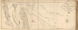
Plan of the inlet, strait, & town of St. Augustine
175.
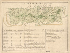
A Plan of the island of Porto Rico
176.
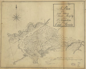
A plan of the land between Fort Mossy and St. Augustine in the province of East Florida
177.
Plan of the peninsula of Chesopeak [sic] Bay
178.
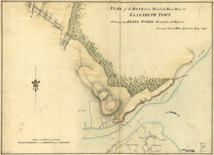
Plan of the road from Elizabeth Town Point to Elizabeth Town : shewing the rebel works raised for its defence
179.
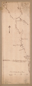
Plan of the route from St. Francis to Connecticut River
180.
Plan of the Town of Turner, formerly Silvester Plantation : out side lines and part of the lotts ran out
‹ Prev
Next ›
1
2
…
5
6
7
8
9
10
11
12


![Plan of the city intended for the permanent seat of the government of t[he] United States](https://bpldcassets.blob.core.windows.net/derivatives/images/commonwealth:q524nf917/image_thumbnail_300.jpg)

![Plan of the peninsula of Chesopeak [sic] Bay](https://bpldcassets.blob.core.windows.net/derivatives/images/commonwealth:z603vn14c/image_thumbnail_300.jpg)