Toggle navigation
LMEC Home
Exhibitions
Georeferencing
Tools for Teachers
Collections
My Favorites
Sign Up / Log In
Search
Search the map portal
Map Collection
Map Collection
Map Sets
Search
Search
Search for
Search In
All Fields
Creator
Title
Subject
Place
Search All Digital Collections
Advanced Search
265 Results
My Search
Start Over
More Like
commonwealth:z603vm790
Remove constraint More Like: commonwealth:z603vm790
Filter your Search
Place
North and Central America
260
New England
118
United States
81
New York
75
Maine
52
New Hampshire
30
Canada
24
Massachusetts
22
more
Place
»
Topic
New England--Maps
120
New York (State)--Maps
81
Maine--Maps
50
Railroads--New England--Maps
50
New Hampshire--Maps
31
Railroads--New York (State)--Maps
21
Massachusetts--Maps
20
Vermont--Maps
15
more
Topic
»
Date
Date range begin
–
Date range end
Current results range from
1700
to
2015
View distribution
Creator
United States. Post Office Dept
12
Carleton, Osgood, 1742-1816
7
Carey, Mathew, 1760-1839
6
Holland, Samuel, 1728-1801
5
Lewis, Samuel, 1753 or 4-1822
5
Geological Survey (U.S.)
4
National Publishing Company (Boston, Mass.)
4
Norman, John, 1748?-1817
4
more
Creator
»
Format
Maps/Atlases
265
Manuscripts
6
Objects/Artifacts
1
Georeferenced
Yes
29
No
236
Collection
Norman B. Leventhal Map Center Collection
183
Boston and New England Maps
115
American Revolutionary War-Era Maps
78
William L. Clements Library Collection
33
American Antiquarian Society Collection
26
Massachusetts Historical Society Map Collection
14
David Judkins Weaver Papers
4
Sidney R. Knafel Map Collection at Phillips Academy
4
more
Collection
»
Available to use
No known restrictions
184
Creative Commons license
16
Search Constraints
Sort by relevance
relevance
title
date (asc)
date (desc)
Number of results to display per page
20 per page
10
per page
20
per page
50
per page
100
per page
View results as:
grid view
map view
Search Results
241.
Sketch A showing the progress of the survey in section no. 1 from 1844 to 1881
242.
Sketch of the states of Massachusetts, Connecticut, and Rhode Island, and parts of New Hampshire & New York exhibiting the...
243.
Sketch of the states of Massachusetts, Connecticut, and Rhode Island, and parts of New Hampshire & New York exhibiting the...
244.
A SMALL MAP of the SEA COAST of NEW ENGLAND Together with the out Lines of Several of the Provinces Lying theron. 1738
245.
A small map of the sea coast of New England together with the outlines of several of the provinces lying thereon, 1738
246.
Summer resorts of the coast, lake, and mountain regions along the Boston & Maine Railroad and connections
247.
Telegraph and rail road map of the New England states
248.
To the honourable Walter Younge, barronet, one of the commissioners for his majestie's collonis : this description of New...
249.
Trolley pathfinder birds eye map of interurban trolley lines in New England
250.
Vereinigte Staaten von Nord-Amerika in 6 blattern, bl. 3
251.
Williams' telegraph and rail road map of the New England states, eastern portion of New York state and Canada
252.
Boston, with its environs
253.
Carte de l'Amérique septentrionale, 1754
254.
A map of Pensilvania, New-Jersey, New-York, and the three Delaware counties
255.
A map of that part of America where a degree of latitude was measured for the Royal Society
256.
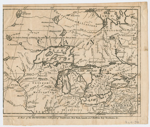
A Map of the five Great Lakes with part of Pensilvania, New York, Canada, and Hudsons Bay Territories &c
257.
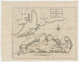
Map of the island of Martha's Vineyard with its dependencies
258.
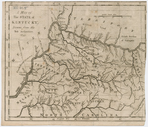
A map of the state of Kentucky
259.
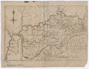
A map of the state of Kentucky and the Tennessee government
260.
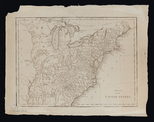
A map of the United States
‹ Prev
Next ›
1
2
…
9
10
11
12
13
14