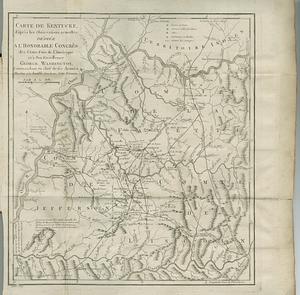
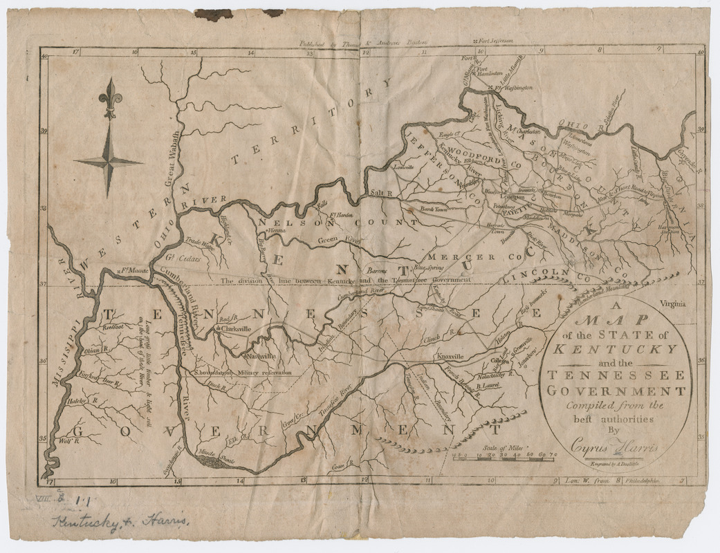
A map of the state of Kentucky and the Tennessee government
This map is also available in American Revolutionary Geographies Online (ARGO), a collections portal especially built for material relating to the American Revolutionary War Era. Visit ARGO to learn more about this item and explore the historical geography of North America in the late eighteenth century.
Item Information
- Title:
- A map of the state of Kentucky and the Tennessee government
- Creator:
- Harris, Cyrus
- Contributor:
- Doolittle, Amos, 1754-1832
- Name on Item:
-
compiled from the best authorities by Cyrus Harris, engraved by A. Doolittle.
- Date:
-
[1796?]
- Format:
-
Maps/Atlases
- Location:
- Massachusetts Historical Society
- Collection (local):
-
Massachusetts Historical Society Collection
- Subjects:
-
Kentucky--Maps--Early works to 1800
Tennessee--Maps--Early works to 1800
- Places:
-
Tennessee
Kentucky
- Extent:
- 1 map ; 21 x 31 cm.
- Terms of Use:
-
No known copyright restrictions.
This work is licensed for use under a Creative Commons Attribution Non-Commercial Share Alike License (CC BY-NC-SA).

- Publisher:
-
Boston :
Published by Thomas & Andrews
- Scale:
-
Scale not given
- Language:
-
English
- Catalog Record:
-
http://balthazaar.masshist.org/cgi-bin/Pwebrecon.cgi?DB=local&BBID=187022
- Notes:
-
Prime meridian: Philadelphia.
From Jedidiah Morse's American universal geography. Boston: Printed by Isaiah Thomas and Ebenezer T. Andrews, 1796.
Shows rivers, creeks, towns, forts, Indian boundaries and the southern boundary of a military reservation in Tennessee.