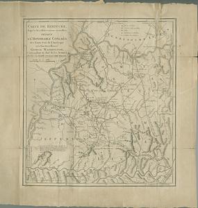
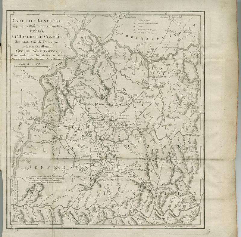
Carte de Kentucke, d'apres les observations actuelles : dediee a l'honorable Congres des Etats-Unis de l'Amerique et a son excellence George Washington, commandant en chef de ses armees
This map is also available in American Revolutionary Geographies Online (ARGO), a collections portal especially built for material relating to the American Revolutionary War Era. Visit ARGO to learn more about this item and explore the historical geography of North America in the late eighteenth century.
Item Information
- Title:
- Carte de Kentucke, d'apres les observations actuelles : dediee a l'honorable Congres des Etats-Unis de l'Amerique et a son excellence George Washington, commandant en chef de ses armees
- Cartographer:
- Filson, John, approximately 1747-1788
- Publisher:
- Buisson, François, 1753-1814
- Name on Item:
-
par leur tres humble serviteur, John Filson
- Date:
-
1785
- Format:
-
Maps/Atlases
- Location:
- MacLean Collection Map Library
- Collection (local):
-
MacLean Collection Map Library
- Subjects:
-
Indians of North America--Maps--Early works to 1800
Kentucky--Maps--Early works to 1800
Boone, Daniel, 1734-1820
- Places:
-
Kentucky
- Extent:
- 1 map ; 432 x 489 mm with item 200 x 310 mm
- Terms of Use:
-
Public Domain/No known restrictions on use. Contact host institution to download image.
Contact host institution for more information.
- Publisher:
-
Paris :
Buisson, François
- Edition:
- First French edition
- Language:
-
French
- Identifier:
-
MC_296
- Call #:
-
296