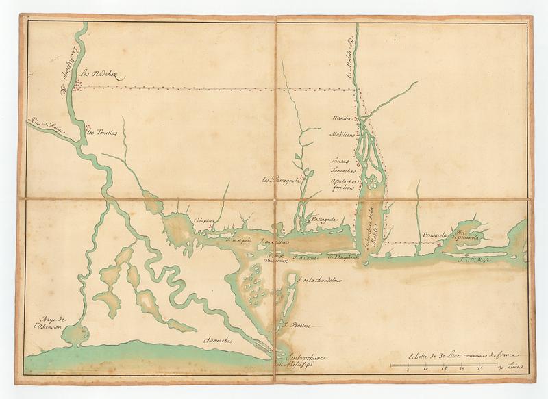
Map of the mouth of the Mississippi
This map is also available in American Revolutionary Geographies Online (ARGO), a collections portal especially built for material relating to the American Revolutionary War Era. Visit ARGO to learn more about this item and explore the historical geography of North America in the late eighteenth century.
Item Information
- Title:
- Map of the mouth of the Mississippi
- Title (alt.):
-
No 129 manuscrite embouchure du Missisipi et baye de l'ascension
- Publisher:
- France. Dépôt des cartes et plans de la marine
- Date:
-
[ca. 1770]
- Format:
-
Maps/Atlases
- Genre:
-
Manuscript maps
- Location:
- MacLean Collection Map Library
- Collection (local):
-
MacLean Collection Map Library
- Subjects:
-
Gulf Coast (Fla.)--Maps--Early works to 1800
Gulf Coast (La.)--Maps--Early works to 1800
Indians of North America--Maps--Early works to 1800
La Salle, Robert Cavelier, sieur de, 1643-1687
- Places:
-
Louisiana
Florida
- Extent:
- 1 ms map ; 280 x 548 mm
- Terms of Use:
-
Public Domain/No known restrictions on use. Contact host institution to download image.
Contact host institution for more information.
- Publisher:
-
Paris :
Depot des Cartes, Plans et Journaux de la Marine
- Language:
-
French
- Identifier:
-
MC_3253
- Call #:
-
3253