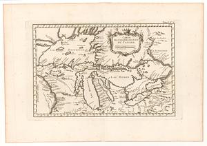
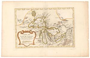
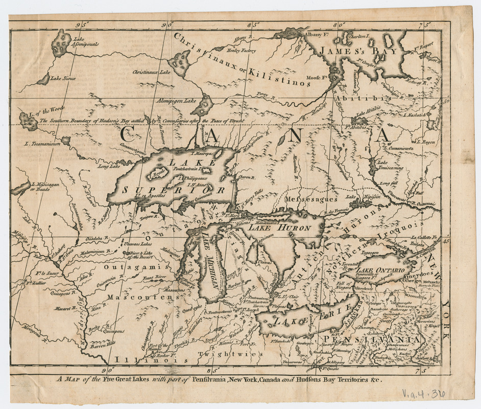
A Map of the five Great Lakes with part of Pensilvania, New York, Canada, and Hudsons Bay Territories &c
This map is also available in American Revolutionary Geographies Online (ARGO), a collections portal especially built for material relating to the American Revolutionary War Era. Visit ARGO to learn more about this item and explore the historical geography of North America in the late eighteenth century.
Item Information
- Title:
- A Map of the five Great Lakes with part of Pensilvania, New York, Canada, and Hudsons Bay Territories &c
- Date:
-
[1755?]
- Format:
-
Maps/Atlases
- Location:
- Massachusetts Historical Society
- Collection (local):
-
Massachusetts Historical Society Collection
- Subjects:
-
Great Lakes Region (North America)--Maps--Early works to 1800
- Places:
-
Great Lakes
- Extent:
- 1 map ; 21 x 27 cm.
- Terms of Use:
-
No known copyright restrictions.
This work is licensed for use under a Creative Commons Attribution Non-Commercial Share Alike License (CC BY-NC-SA).

- Publisher:
-
[S.l.] :
[s.n.]
- Scale:
-
Scale ca. 1:6,750,000
- Language:
-
English
- Catalog Record:
-
http://balthazaar.masshist.org/cgi-bin/Pwebrecon.cgi?DB=local&BBID=188175
- Notes:
-
Relief shown pictorially.
- LCCN:
-
73694803