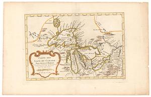
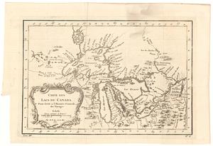
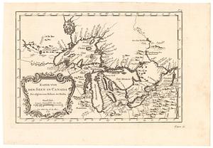
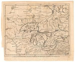
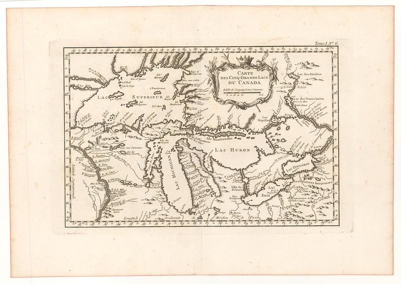
Carte des cinq grands lacs du Canada
This map is also available in American Revolutionary Geographies Online (ARGO), a collections portal especially built for material relating to the American Revolutionary War Era. Visit ARGO to learn more about this item and explore the historical geography of North America in the late eighteenth century.
Item Information
- Title:
- Carte des cinq grands lacs du Canada
- Publisher:
- Bellin, Jacques Nicolas, 1703-1772
- Date:
-
[1764]
- Format:
-
Maps/Atlases
- Location:
- MacLean Collection Map Library
- Collection (local):
-
MacLean Collection Map Library
- Subjects:
-
Great Lakes Region (North America)--Maps--Early works to 1800
- Places:
-
Great Lakes Region (area)
- Extent:
- 1 map ; 220 x 335 mm
- Terms of Use:
-
Public Domain/No known restrictions on use. Contact host institution to download image.
Contact host institution for more information.
- Publisher:
-
Paris :
Bellin, Jacques Nicolas Sr.
- Language:
-
French
- Notes (date):
-
This date is inferred.
- Identifier:
-
MC_21756
- Call #:
-
21756