Search Constraints
Search Results


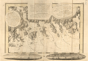
6. Canso Harbor
7. Canso Harbor


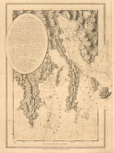
12. Egmont Harbor

13. Egmont Harbor
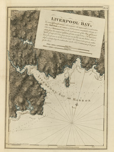
24. Liverpool Bay
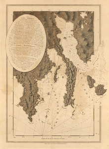
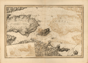
29. Port Campbell
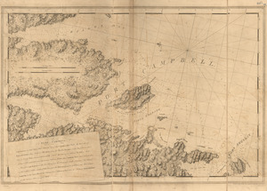
30. Port Campbell
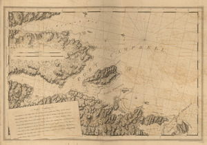
31. Port Campbell
32. Port Campbell
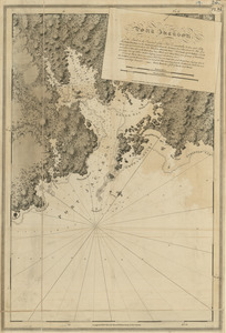
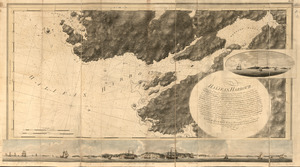
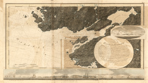
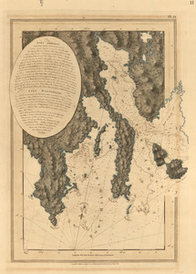
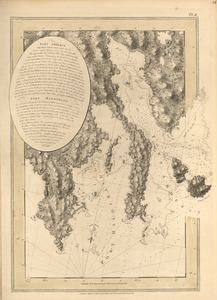
33. Port Jackson
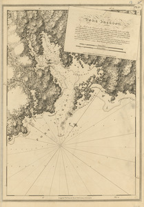
34. Port Jackson
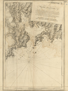
35. Port Jackson
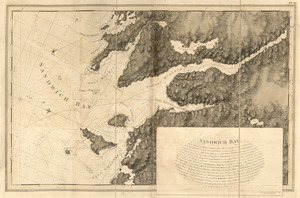
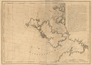
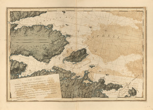
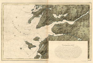
39. Sandwich Bay
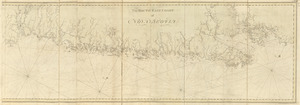
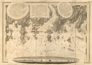
![[Southwest coast of Nova Scotia from Cape Sable to Cape St. Mary]](https://bpldcassets.blob.core.windows.net/derivatives/images/commonwealth:t722hs70t/image_thumbnail_300.jpg)
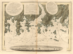
![[Southwest coast of Nova Scotia from Cape Sable to Cape St. Mary]](https://bpldcassets.blob.core.windows.net/derivatives/images/commonwealth:t722hs72c/image_thumbnail_300.jpg)