Toggle navigation
LMEC Home
Exhibitions
Georeferencing
Tools for Teachers
Collections
My Favorites
Sign Up / Log In
Search
Search the map portal
Map Collection
Map Collection
Map Sets
Search
Search
Search for
Search In
All Fields
Creator
Title
Subject
Place
Search All Digital Collections
Advanced Search
382 Results
My Search
Start Over
More Like
commonwealth:z603vg37n
Remove constraint More Like: commonwealth:z603vg37n
Filter your Search
Place
North and Central America
369
United States
339
New England
124
New York
90
Pennsylvania
52
New Jersey
41
Massachusetts
37
Canada
34
more
Place
»
Topic
New England--Maps
127
New York (State)--Maps
85
Pennsylvania--Maps
50
Railroads--New England--Maps
50
New Jersey--Maps
40
United States--History--Revolution, 1775-1783--Maps
29
United States--Maps
22
Massachusetts--Maps
21
more
Topic
»
Date
Date range begin
–
Date range end
Current results range from
1700
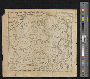
to
2015
View distribution
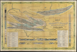
Creator
Kitchin, Thomas, 1719-1784
11
Reid, John, 1764?-1828
11
United States. Post Office Dept
11
Farwell, John Whittemore, 1843-1929
9
Bellin, Jacques Nicolas, 1703-1772
8
Carey, Mathew, 1760-1839
8
Carleton, Osgood, 1742-1816
8
Jefferys, Thomas, -1771
7
more
Creator
»
Format
Maps/Atlases
382
Manuscripts
14
Georeferenced
Yes
48
No
334
Collection
American Revolutionary War-Era Maps
206
Norman B. Leventhal Map & Education Center Collection
175
Maps from AAS
138
Boston and New England Maps
81
William L. Clements Library Collection
52
MacLean Collection Map Library
8
David Judkins Weaver Papers
4
Sidney R. Knafel Map Collection at Phillips Academy
4
more
Collection
»
Available to use
No known restrictions
176
Creative Commons license
5
Search Constraints
Sort by relevance
relevance
title
date (asc)
date (desc)
Number of results to display per page
20 per page
10
per page
20
per page
50
per page
100
per page
View results as:
grid view
map view
Search Results
61.
The principal part of the province of New Jersey shewing the road and distances to the several towns between the North River...
62.
Rand, McNally & Co.'s New Jersey
63.
Relief map of New Jersey
64.
The road from New Bridge and Hackinsack to Burlington
65.
Situation of ye rebels just before the attack upon Trenton
66.
The State of New Jersey : from original surveys based on the triangulation of the U.S. Coast and Geodetic Survey
67.
The state of New Jersey : economic geology
68.
The state of New Jersey, compiled from the most authentic information
69.
Clemens' map of Pennsylvania
70.
Delaware Bay and Chesapeake Bay
71.
Delaware Bay and Chesapeake Bay
72.
A draft of the Ohio from an Indian account
73.
Geological and topographical map of the anthracite fields of Pennsylvania : constructed from original explorations and surveys
74.
Geological map of south-west Pennsylvania, with special reference to the Pittsburgh coal bed
75.
Grundriss von Philadelphia der hauptstadt in Pensylvanien und umliegenden Gegend
76.
Manuscript maps of U.S. states
77.
A map of part of Pennsylvania & Maryland intended to shew, at one view, the several places ...
78.
A map of Pensylvania, with part of the adjacent states, from the latest surveys
79.
A map of Pensylvania, with part of the adjacent states, from the latest surveys
80.
Map of the anthracite coalfields of Pennsylvania
‹ Prev
Next ›
1
2
3
4
5
6
7
8
…
19
20