Toggle navigation
LMEC Home
Exhibitions
Georeferencing
Tools for Teachers
Collections
My Favorites
Sign Up / Log In
Search
Search the map portal
Map Collection
Map Collection
Map Sets
Search
Search
Search for
Search In
All Fields
Creator
Title
Subject
Place
Search All Digital Collections
Advanced Search
8701 Results
My Search
Start Over
More Like
commonwealth:xg94j213m
Remove constraint More Like: commonwealth:xg94j213m
Filter your Search
Place
North and Central America
5,932
United States
4,850
Massachusetts
2,079
Europe
1,396
Suffolk (county)
1,046
Boston
1,019
Canada
449
Asia
438
more
Place
»
Topic
Boston (Mass.)--Maps
586
United States--Maps
282
Real property--Massachusetts--Boston--Maps
175
Massachusetts--Maps
162
Landowners--Massachusetts--Boston--Maps
133
North America--Maps--Early works to 1800
103
New England--Maps
102
Europe--Maps
79
more
Topic
»
Date
Date range begin
–
Date range end
Current results range from
1482
to
2023
View distribution
Creator
United States. Hydrographic Office
595
O.H. Bailey & Co
148
Des Barres, Joseph F. W. (Joseph Frederick Wallet), 1722-1824
123
United States. Post Office Dept
120
Ptolemy, 2nd cent
100
Walling, Henry Francis, 1825-1888
94
Geological Survey (U.S.)
86
Jefferys, Thomas, -1771
85
more
Creator
»
Format
Maps/Atlases
8,641
Manuscripts
215
Prints
56
Books
36
Objects/Artifacts
10
Drawings/Illustrations
8
Posters
5
Georeferenced
Yes
869
No
7,832
Collection
Norman B. Leventhal Map & Education Center Collection
8,701
Boston and New England Maps
2,233
Urban Maps
2,023
Maritime Charts and Atlases
1,083
American Revolutionary War-Era Maps
616
Boston Redevelopment Authority Collection
87
David Judkins Weaver Papers
7
Available to use
No known restrictions
8,559
Creative Commons license
47
Search Constraints
Sort by relevance
relevance
title
date (asc)
date (desc)
Number of results to display per page
20 per page
10
per page
20
per page
50
per page
100
per page
View results as:
grid view
map view
Search Results
1.
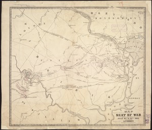
Map of the seat of war showing the battles of July 18th & 21st 1861
2.
Bermuda Hundred
3.
Tomlinsons map of Petersburg : showing the scene of Genl. Grants operations
4.
Map of battles on Bull Run, near Manassas, on the line of Fairfax & Prince William Counties, in Virginia, fought between the...
5.
Map of the battlefield of Bull Run, Virginia. Brig. Gen. Irvin McDowell commanding the U.S. forces, Gen. [P.] G.T. Beauregard...
6.
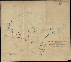
Plan of the battle field at Bull Run, July 21st 1861 : to accompany the report of Brigr. Genl. Irvin McDowell, commanding ; map 1
7.
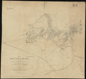
Plan of the battle field at Bull Run, July 21st 1861 : to accompany the report of Brigr. Genl. Irvin McDowell, commanding ; map 2
8.
Reconnaissance of the battle field at Bull Run, Va., fought July 21, 1861
9.
Bacon's Map of the seat of war in Virginia : showing minutely the interesting localities in the vicinity of Richmond
10.
Bacon's new army map of the seat of war in Virginia, showing the battle fields, fortifications, etc., on & near the Potomac River
11.
Bacon's topographical war map showing the battle fields of Pennsylvania, Maryland, and Virginia
12.
Central Virginia showing Lieut. Gen'l. U.S. Grant's Campaign and marches of the armies under his command in 1864-65
13.
Colton's map of the seat of war in Virginia : showing minutely the interesting localities in the vicinity of Richmond
14.
Diagram of the Battle of Ball's Bluff
15.
E. & G.W. Blunt's corrected map of the seat of war near Richmond, July 10th, 1862
16.
Field of operations of the Army of the Potomac
17.
J.H. Colton's Topographical map of seat of war in Virginia, Maryland, &c
18.
The locality of the great struggle
19.
Map of n. eastern Virginia and vicinity of Washington
20.
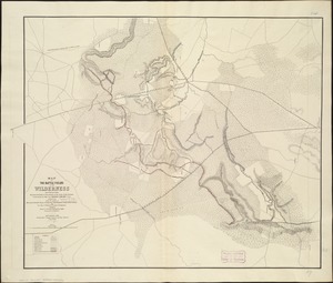
Map of the battle fields of the Wilderness May 5th, 6th, and 7th, 1864 : showing the field of operations of the Army of the...
‹ Prev
Next ›
1
2
3
4
5
…
435
436


![Map of the battlefield of Bull Run, Virginia. Brig. Gen. Irvin McDowell commanding the U.S. forces, Gen. [P.] G.T. Beauregard commanding the Confederate forces, July 21st 1861](https://bpldcassets.blob.core.windows.net/derivatives/images/commonwealth:ww72bp023/image_thumbnail_300.jpg)