Toggle navigation
LMEC Home
Collections
My Favorites
Exhibitions
Georeferencing
Tools for Teachers
Sign Up / Log In
Search
Search the map portal
Search
Search
Search for
Search in
All Fields
Title
Subject
Place
Creator
Search All Digital Collections
Advanced Search
8974 Results
Search Constraints
My Search
Start Over
More like
commonwealth:x633fc024
Remove constraint More like: commonwealth:x633fc024
Filter your Search
Show filters
Hide filters
Place
North and Central America
6,156
United States
5,060
Massachusetts
2,182
Europe
1,416
Suffolk (county)
1,083
Boston
1,052
Canada
461
Asia
446
more
Place
»
Topic
Boston (Mass.)--Maps
597
United States--Maps
294
Real property--Massachusetts--Boston--Maps
178
Massachusetts--Maps
172
Landowners--Massachusetts--Boston--Maps
136
New England--Maps
108
North America--Maps--Early works to 1800
103
Europe--Maps
81
more
Topic
»
Creator
United States. Hydrographic Office
597
O.H. Bailey & Co
148
Des Barres, Joseph F. W. (Joseph Frederick Wallet), 1722-1824
122
United States. Post Office Dept
120
Geological Survey (U.S.)
100
Ptolemy, 2nd cent
100
Walling, Henry Francis, 1825-1888
94
Jefferys, Thomas, -1771
85
more
Creator
»
Format
Maps/Atlases
8,909
Manuscripts
215
Prints
56
Books
39
Objects/Artifacts
13
Drawings/Illustrations
8
Posters
5
Ephemera
4
more
Format
»
Georeferenced
Yes
965
No
8,009
Collection
Norman B. Leventhal Map & Education Center Collection
8,972
Boston and New England Maps
2,356
Urban Maps
2,074
Maritime Charts and Atlases
1,083
American Revolutionary War-Era Maps
621
Boston Redevelopment Authority Collection
88
Mapping Boston Collection
1
William L. Clements Library Collection
1
Available to use
No known restrictions
8,817
Creative Commons license
61
Sort
by relevance
relevance
title
date (asc)
date (desc)
recently added
Number of results to display per page
20
per page
per page
10
per page
20
per page
50
per page
100
per page
Search Results
61.
6. The world of the New Testament and the journeys of Paul
62.
660 Wakulah St., Roxbury
63.
7. The Roman Empire around 200 CE
64.
74 miles on the ocean scenic highway U.S. 1
65.
[A chart of Boston Bay and vicinity]
66.
[A chart of New York Island & North River : East River, passage through Hell Gate, Flushing Bay, Hampstead Bay, Oyster,...
67.
The A.A.A. key road map of continental Europe
68.
Aaron Bohrod's America, its history
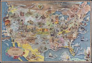
69.
ABC pathfinder railway guide map : eastern division
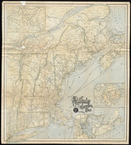
70.
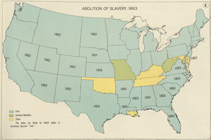
Abolition of Slavery, 1863
71.
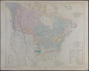
Aboriginal map of North America, denoting the boundaries and the locations of various Indian tribes
72.
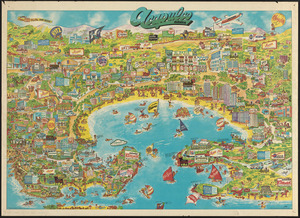
Acapulco, México
73.
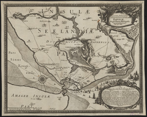
Accurata delineatio Castrorum Suecicorum, ut et Haffniae, Regni Daniae Metropolis
74.
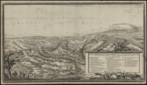
Accurata delineatio oppugnatae a faederatis, Caesareis, Polonicis, Danicis, et Brandeburgicis copijs sub-ductu Seren: Electoris...
75.
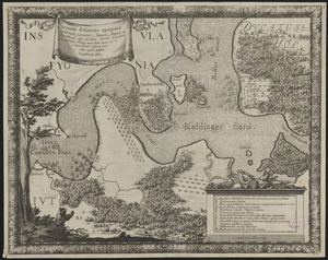
Accurata delineatio regionis circa Nieburgum Fioniæ cum prælio ibi commisso inter Danorum et fæderatorum exercitum ab una et...
76.
Accurata Scaniae, Blekingiae et Hallandiae descriptio
77.
An accurate map of Cuba, and the adjacent islands
78.
An accurate map of Dorset Shire divided into hundreds
79.
An accurate map of Dorset Shire, divided into its hundreds
80.
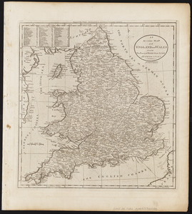
An accurate map of England and Wales with the principal roads from the best authorities
« Previous
Next »
1
2
3
4
5
6
7
8
…
448
449