Toggle navigation
LMEC Home
Exhibitions
Georeferencing
Tools for Teachers
Collections
My Favorites
Sign Up / Log In
Search
Search the map portal
Map Collection
Map Collection
Map Sets
Search
Search
Search for
Search In
All Fields
Creator
Title
Subject
Place
Search All Digital Collections
Advanced Search
8762 Results
My Search
Start Over
More Like
commonwealth:wd376506q
Remove constraint More Like: commonwealth:wd376506q
Filter your Search
Place
North and Central America
5,969
United States
4,862
Massachusetts
2,079
Europe
1,396
Suffolk (county)
1,046
Boston
1,019
Canada
470
Asia
438
more
Place
»
Topic
Boston (Mass.)--Maps
586
United States--Maps
295
Real property--Massachusetts--Boston--Maps
175
Massachusetts--Maps
162
Landowners--Massachusetts--Boston--Maps
133
New England--Maps
107
North America--Maps--Early works to 1800
103
North America--Maps
85
more
Topic
»
Date
Date range begin
–
Date range end
Current results range from
1482
to
2023
View distribution
Creator
United States. Hydrographic Office
595
O.H. Bailey & Co
148
Des Barres, Joseph F. W. (Joseph Frederick Wallet), 1722-1824
123
United States. Post Office Dept
120
Ptolemy, 2nd cent
100
Walling, Henry Francis, 1825-1888
94
Jefferys, Thomas, -1771
87
Geological Survey (U.S.)
86
more
Creator
»
Format
Maps/Atlases
8,702
Manuscripts
215
Prints
56
Books
36
Objects/Artifacts
10
Drawings/Illustrations
8
Posters
5
Georeferenced
Yes
872
No
7,890
Collection
Norman B. Leventhal Map & Education Center Collection
8,695
Boston and New England Maps
2,233
Urban Maps
2,023
Maritime Charts and Atlases
1,083
American Revolutionary War-Era Maps
683
Boston Redevelopment Authority Collection
87
American Antiquarian Society Collection
31
William L. Clements Library Collection
20
more
Collection
»
Available to use
No known restrictions
8,553
Creative Commons license
58
Search Constraints
Sort by relevance
relevance
title
date (asc)
date (desc)
Number of results to display per page
20 per page
10
per page
20
per page
50
per page
100
per page
View results as:
grid view
map view
Search Results
2661.
Ground plan of where the greatest decision in history is being made secure
2662.
Growth of the Commonwealth (A)
2663.
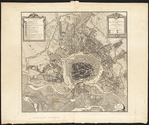
Grundriss der residenzstadt Wien, und der seamtlichen vorstaedte : nach den neuesten verbesserungen
2664.
Grundriss der stadt und der forts von St. Jago od. Jacob
2665.
Grundriss des nördlichen Theils der Neujorks Insel nebst den am 16. Novbr. 1776. eroberten Fort Washington nun das Fort...
2666.
Grundriss von der bay der insel St. Vincent einer von den Eylanden des grünen Vorgebirges
2667.
Grundriss von der stadt Boston und ihren gegenden
2668.
Grundriss von Philadelphia der hauptstadt in Pensylvanien und umliegenden Gegend
2669.
Guadaloupe, done from actual surveys and observations of the English : whilst the island was in their possession
2670.
Guadaloupe, one of the Caribbee Islands subject to France in the West Indies
2671.
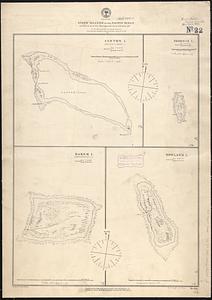
Guano islands in the Pacific Ocean
2672.
Guatemala and Salvador from a drawing by International Railways of Central America
2673.
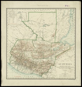
Guatemala, from official and other sources
2674.
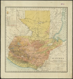
Guatemala, from official and other sources
2675.
Guerre d'orient, Balkans, Asie Mineure, Perse
2676.
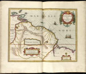
Guiana siue Amazonum regio
2677.
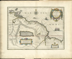
Guiana siue Amazonum regio
2678.
Guiana sive Amazonum regio
2679.
Guide map of Boston
2680.
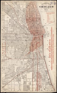
Guide map of Chicago, October 11th, 1871
‹ Prev
Next ›
1
2
…
130
131
132
133
134
135
136
137
138
…
438
439