Search Constraints
Search Results


7782. State of Florida

7783. State of Florida

7784. State of Idaho

7785. State of Illinois

7786. State of Illinois

7787. State of Illinois


7789. State of Indiana

7790. State of Indiana

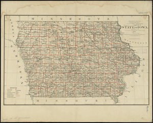
7792. State of Iowa

7793. State of Iowa

7794. State of Kansas

7795. State of Kansas


7798. State of Louisiana

