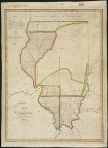
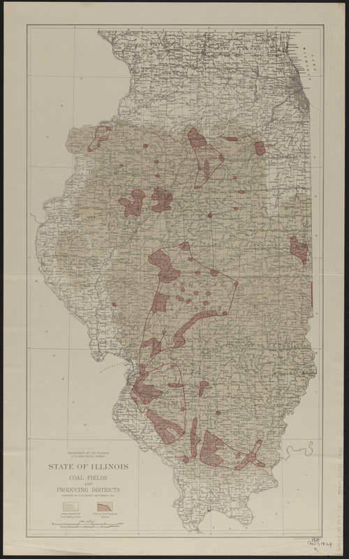
State of Illinois coal fields and producing districts
Item Information
- Title:
- State of Illinois coal fields and producing districts
- Title (alt.):
-
Coal fields and producing districts
- Cartographer:
- Lesher, C. E. (Carl Eugene), 1885-
- Publisher:
- Geological Survey (U.S.)
- Name on Item:
-
compiled by C. E. Lesher
- Date:
-
1919
- Format:
-
Maps/Atlases
- Location:
-
Boston Public Library
Norman B. Leventhal Map & Education Center - Collection (local):
-
Norman B. Leventhal Map & Education Center Collection
- Subjects:
-
Coal mines and mining--Illinois--Maps
Coalfields--Illinois--Maps
Illinois--Maps
- Places:
-
Illinois
- Extent:
- 1 map : color ; 62 x 36 cm
- Terms of Use:
-
No known copyright restrictions.
No known restrictions on use.
- Publisher:
-
[Washington, D.C.] :
Department of the Interior, U.S. Geological Survey
- Scale:
-
Scale 1:1,000,000
- Language:
-
English
- Notes:
-
Shows "areas underlain by coal bearing rocks" and "principal coal producing districts."
"September 1919."
- Identifier:
-
06_01_014958
- Call #:
-
G4101.H9 1919 .L47
- Barcode:
-
39999065708974

![[Illinois]](https://bpldcassets.blob.core.windows.net/derivatives/images/commonwealth:4m90f716w/image_thumbnail_300.jpg)