Toggle navigation
LMEC Home
Exhibitions
Georeferencing
Tools for Teachers
Collections
My Favorites
Sign Up / Log In
Search
Search the map portal
Map Collection
Map Collection
Map Sets
Search
Search
Search for
Search In
All Fields
Creator
Title
Subject
Place
Search All Digital Collections
Advanced Search
8646 Results
My Search
Start Over
More Like
commonwealth:w0894s461
Remove constraint More Like: commonwealth:w0894s461
Filter your Search
Place
North and Central America
5,886
United States
4,805
Massachusetts
2,068
Europe
1,391
Suffolk (county)
1,041
Boston
1,014
Canada
449
Asia
437
more
Place
»
Topic
Boston (Mass.)--Maps
582
United States--Maps
279
Real property--Massachusetts--Boston--Maps
175
Massachusetts--Maps
161
Landowners--Massachusetts--Boston--Maps
133
North America--Maps--Early works to 1800
103
New England--Maps
101
Europe--Maps
79
more
Topic
»
Date
Date range begin
–
Date range end
Current results range from
1482
to
2023
View distribution
Creator
United States. Hydrographic Office
595
O.H. Bailey & Co
148
Des Barres, Joseph F. W. (Joseph Frederick Wallet), 1722-1824
123
United States. Post Office Dept
120
Ptolemy, 2nd cent
100
Walling, Henry Francis, 1825-1888
94
Geological Survey (U.S.)
86
Jefferys, Thomas, -1771
85
more
Creator
»
Format
Maps/Atlases
8,586
Manuscripts
215
Prints
56
Books
36
Objects/Artifacts
10
Drawings/Illustrations
8
Posters
5
Georeferenced
Yes
869
No
7,777
Collection
Norman B. Leventhal Map & Education Center Collection
8,646
Boston and New England Maps
2,221
Urban Maps
1,992
Maritime Charts and Atlases
1,083
American Revolutionary War-Era Maps
615
Boston Redevelopment Authority Collection
87
Available to use
No known restrictions
8,504
Creative Commons license
47
Search Constraints
Sort by relevance
relevance
title
date (asc)
date (desc)
Number of results to display per page
20 per page
10
per page
20
per page
50
per page
100
per page
View results as:
grid view
map view
Search Results
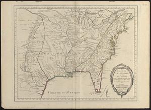
1.
Carte de la Louisiane et des pays voisins dédiée à M. Rouillé sécretaire d'état, ayant le Département de la marine
2.
The territory over possession of which France and England are disputing
3.
Bacon's large scale seat of war - Metz to the Rhine
4.
Bacon's large scale war map : Paris to the Rhine
5.
Bacon's map of the seat of war from Paris to the Rhine
6.
Black's general map of the seat of war
7.
Black's special war map
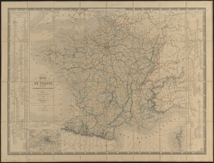
8.
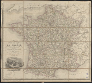
Carte de France indiquant les chemins de fer et les routes, avec les distances en kilomètres
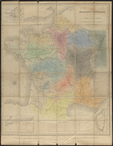
9.
Carte des monuments historiques de la France, dressée d'après la liste établie par la Commission des monuments historiques
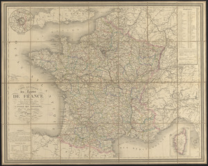
10.
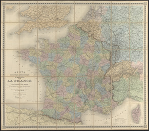
Carte générale des routes de France : divisées en routes de poste, routes royales, départementales, stratégiques, chemins...
11.
Carte orographique hydrographique et routière de la France : comprenant le bassin du rhin et la région des Alpes occidentales...
12.
Carte physique et routière de la France, de la Suisse, et de l'Italie septentrionale, indiquant aussi les relais, leurs...
13.
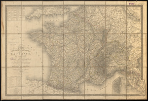
Carte routière de la France, dressée spécialement pour tous les guides du voyageur
14.
Comparative map of distances between Paris & Cologne, and likewise between Dover and Cologne
15.
Comparative map of distances between Paris & Cologne, and likewise between Dover and Cologne
16.
Daily Mail map of the battlefields of France
17.
The Daily Telegraph war map no. 11
18.
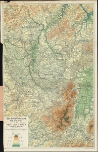
The Daily Telegraph war map no. 14 : of the western front, Arras to Nancy
19.
The Daily Telegraph war map no. 15 : of the western front, Verdun to Belfort
20.
The Daily Telegraph war map no. 16
‹ Prev
Next ›
1
2
3
4
5
…
432
433