Toggle navigation
LMEC Home
Exhibitions
Georeferencing
Tools for Teachers
Collections
My Favorites
Sign Up / Log In
Search
Search the map portal
Map Collection
Map Collection
Map Sets
Search
Search
Search for
Search In
All Fields
Creator
Title
Subject
Place
Search All Digital Collections
Advanced Search
8786 Results
My Search
Start Over
More Like
commonwealth:tt44pw23k
Remove constraint More Like: commonwealth:tt44pw23k
Filter your Search
Place
North and Central America
6,017
United States
4,934
Massachusetts
2,089
Europe
1,396
Suffolk (county)
1,136
Boston
1,109
Canada
449
Asia
438
more
Place
»
Topic
Boston (Mass.)--Maps
607
United States--Maps
282
Real property--Massachusetts--Boston--Maps
253
Landowners--Massachusetts--Boston--Maps
169
Massachusetts--Maps
163
City planning--Massachusetts--Boston--Maps
118
North America--Maps--Early works to 1800
103
New England--Maps
102
more
Topic
»
Date
Date range begin
–
Date range end
Current results range from
1482
to
2023
View distribution
Creator
United States. Hydrographic Office
595
O.H. Bailey & Co
148
Des Barres, Joseph F. W. (Joseph Frederick Wallet), 1722-1824
123
United States. Post Office Dept
120
Boston Redevelopment Authority
119
Ptolemy, 2nd cent
100
Walling, Henry Francis, 1825-1888
94
Geological Survey (U.S.)
87
more
Creator
»
Format
Maps/Atlases
8,726
Manuscripts
215
Prints
56
Books
36
Objects/Artifacts
10
Drawings/Illustrations
8
Posters
5
Georeferenced
Yes
870
No
7,916
Collection
Norman B. Leventhal Map & Education Center Collection
8,695
Boston and New England Maps
2,288
Urban Maps
2,078
Maritime Charts and Atlases
1,083
American Revolutionary War-Era Maps
616
Boston Redevelopment Authority Collection
142
Massachusetts Real Estate Atlases
36
Applied Geographics, Inc. Records
1
Available to use
No known restrictions
8,608
Creative Commons license
47
Search Constraints
Sort by relevance
relevance
title
date (asc)
date (desc)
Number of results to display per page
20 per page
10
per page
20
per page
50
per page
100
per page
View results as:
grid view
map view
Search Results
5221.
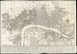
A new and exact plan of the city's of London and Westminster, the borough of Southwark : and the additional new buildings,...
5222.
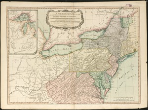
A new and general map of the middle dominions belonging to the United States of America, viz. Virginia, Maryland, the...
5223.
A new and general map of the Southern dominions belonging to the United States of America, viz North Carolina, South Carolina,...
5224.
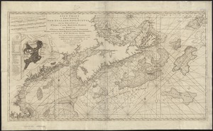
A new and improved chart of the West India or Carribbee [sic] Islands
5225.
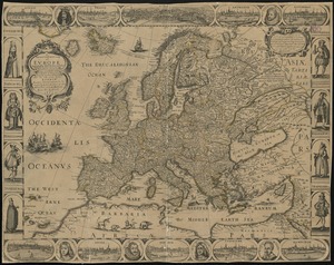
A new and most exact map of Europe described by N.I. Visscher and don into English and corrected according to I Bleau and...
5226.
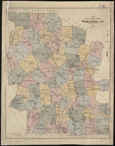
New bicycle & driving road map of Worcester Co., Massachusetts
5227.
New bond paper map of the city of Washington
5228.
New Boston and Charles River Bay
5229.
New Brunswick, Nova Scotia, Newfoundland, and Prince Edward Id.
5230.
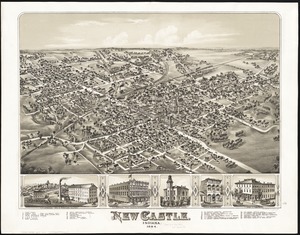
New Castle, Indiana : 1884
5231.
New chart of Boston Harbor
5232.
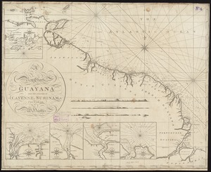
A new chart of Guyana with the colonies of Cayenne, Surinam, & Trinadad
5233.
A new chart of Massachusetts Bay drawn from the latest authorities
5234.
A new chart of Nantucket Shoals & George's Bank with the adjacent coast
5235.
A new chart of the Atlantic or Western Ocean
5236.
A new chart of the Azores or Western Isles
5237.
A new chart of the Bahama Islands and the Windward Passage
5238.
A new chart of the Cape Verd Islands, from the latest authorities
5239.
A new chart of the coast of America from Boston to Savannah with plans on an enlarged scale, of the principal harbours :...
5240.
A new chart of the coast of New England, Nova Scotia, and the islands of St. Iohn, Cape Breton, Sable, the banks of St. Peters,...
‹ Prev
Next ›
1
2
…
258
259
260
261
262
263
264
265
266
…
439
440

![A new and improved chart of the West India or Carribbee [sic] Islands](https://bpldcassets.blob.core.windows.net/derivatives/images/commonwealth:kk91fq95z/image_thumbnail_300.jpg)