Toggle navigation
LMEC Home
Exhibitions
Georeferencing
Tools for Teachers
Collections
My Favorites
Sign Up / Log In
Search
Search the map portal
Map Collection
Map Collection
Map Sets
Search
Search
Search for
Search In
All Fields
Creator
Title
Subject
Place
Search All Digital Collections
Advanced Search
9088 Results
My Search
Start Over
More Like
commonwealth:t722mh264
Remove constraint More Like: commonwealth:t722mh264
Filter your Search
Place
North and Central America
6,319
United States
5,237
Massachusetts
2,151
Suffolk (county)
1,439
Boston
1,412
Europe
1,396
Canada
449
Asia
438
more
Place
»
Topic
Boston (Mass.)--Maps
685
City planning--Massachusetts--Boston--Maps
418
United States--Maps
282
Real property--Massachusetts--Boston--Maps
253
Urban renewal--Massachusetts--Boston--Maps
253
Landowners--Massachusetts--Boston--Maps
169
Massachusetts--Maps
162
Buildings--Massachusetts--Boston--Maps
124
more
Topic
»
Date
Date range begin
–
Date range end
Current results range from
1482
to
2023
View distribution
Creator
United States. Hydrographic Office
595
Boston Redevelopment Authority
392
O.H. Bailey & Co
148
Des Barres, Joseph F. W. (Joseph Frederick Wallet), 1722-1824
123
United States. Post Office Dept
120
Ptolemy, 2nd cent
100
Walling, Henry Francis, 1825-1888
94
Geological Survey (U.S.)
86
more
Creator
»
Format
Maps/Atlases
9,028
Manuscripts
215
Prints
56
Books
36
Objects/Artifacts
10
Drawings/Illustrations
8
Posters
5
Georeferenced
Yes
869
No
8,219
Collection
Norman B. Leventhal Map & Education Center Collection
8,695
Boston and New England Maps
2,591
Urban Maps
2,379
Maritime Charts and Atlases
1,083
American Revolutionary War-Era Maps
616
Boston Redevelopment Authority Collection
445
Massachusetts Real Estate Atlases
35
Applied Geographics, Inc. Records
1
Available to use
No known restrictions
8,911
Creative Commons license
47
Search Constraints
Sort by relevance
relevance
title
date (asc)
date (desc)
Number of results to display per page
20 per page
10
per page
20
per page
50
per page
100
per page
View results as:
grid view
map view
Search Results
6881.
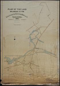
Plan of the land belonging to the Saunders Cotton Mills, Saundersville, Mass.
6882.
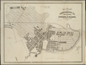
Plan of the lands of the Winnisimmet Co. and others in Chelsea & Malden
6883.
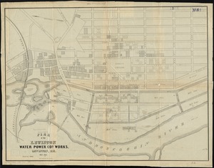
Plan of the Lewiston Water Power Co.'s works, Lewiston, Me
6884.
A plan of the line of march of the detachment from the little Meadows
6885.
A plan of the line of march with the whole baggage
6886.
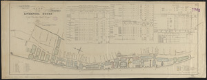
Plan of the Liverpool Docks
6887.
Plan of the new city at Hadley Falls
6888.
Plan of the operations of General Washington, against the Kings troops in New Jersey : from the 26th. of December 1776, to the...
6889.
A plan of the operations of the King's army under the command of General Sr. William Howe, K.B. in New York and east New Jersey...
6890.
Plan of the Pan-American Exposition to be held at Buffalo, New York, May 1-Nov 1, 1901
6891.
A plan of the Pitts Farm in Chelsea
6892.
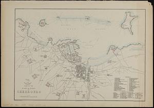
Plan of the port & town of Cherbourg
6893.
A plan of the property of the Hampton Normal and Agricultural Institute at Hampton Virginia
6894.
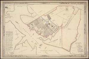
Plan of the proposed docks at South Boston
6895.
Plan of the receiving basin showing certain avenues and lines of release
6896.
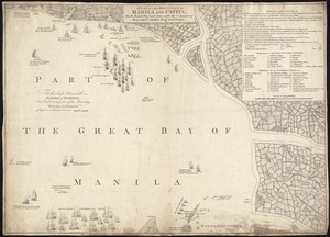
A plan of the reduction of Manila and Cavita
6897.
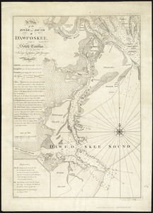
A plan of the river and sound of D'Awfoskee in South Carolina
6898.
A plan of the rivers Scoodic and Magaguadavic with their principal branches including the Bay of Passamaquoddy and the adjacent...
6899.
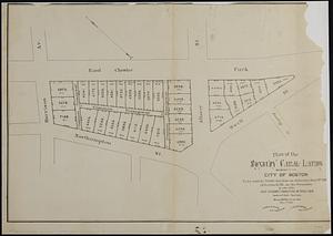
Plan of the Roxbury Canal lands belonging to the city of Boston to be sold by public auction on Saturday May 19th 1883 at 3...
6900.
A plan of the salt marsh and upland in Roxbury, lying the east side of the Mill Creek
‹ Prev
Next ›
1
2
…
341
342
343
344
345
346
347
348
349
…
454
455