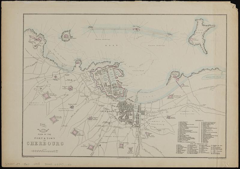
Plan of the port & town of Cherbourg
Item Information
- Title:
- Plan of the port & town of Cherbourg
- Cartographer:
- Weller, Edward, 1819-1884
- Lithographer:
- Day & Son
- Name on Item:
-
drawn and engraved by Edwd. Weller, Duke Street, Bloomsbury
- Date:
-
[ca. 1860–1869]
- Format:
-
Maps/Atlases
- Location:
-
Boston Public Library
Norman B. Leventhal Map & Education Center - Collection (local):
-
Norman B. Leventhal Map & Education Center Collection
- Subjects:
-
Cherbourg (France)--Maps
- Places:
-
FranceNormandie (region)Cherbourg
- Extent:
- 1 map : hand colored ; 29 x 42 cm
- Terms of Use:
-
No known copyright restrictions.
No known restrictions on use.
- Publisher:
-
[London] :
Weekly Dispatch, 139 Fleet St.
- Scale:
-
Scale approximately 1:21,000
- Language:
-
English
- Notes:
-
Above title: "The Dispatch Atlas", in band around part globe, with figure of Hermes flying over.
Relief shown by hachures.
"Day & Son, Lithrs. to the Queen."
- Identifier:
-
06_01_019151
- Call #:
-
G5834.C7 1860 .W45
- Barcode:
-
39999085971180


