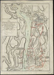
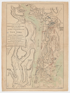
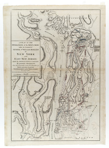
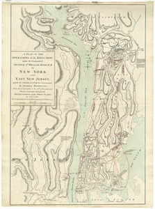
A plan of the operations of the King's army under the command of General Sr. William Howe, K.B. in New York and east New Jersey against the American forces commanded by General Washington from the 12th. of October, to the 28th. of November 1776 : wherein is particularly distinguished the engagement on the White Plains, the 28th. of October

This map is also available in American Revolutionary Geographies Online (ARGO), a collections portal especially built for material relating to the American Revolutionary War Era. Visit ARGO to learn more about this item and explore the historical geography of North America in the late eighteenth century.
Item Information
 IIIF Manifest
 Allmaps
More Like This

Explore the Collection: Norman B. Leventhal Map & Education Center Collection
The Norman B. Leventhal Map & Education Center at the Boston Public Library cares for more than a quarter million cartographic and geographic objects, ranging from the fifteenth century to the present, with a global scope and a focus on Boston and New England. Created in 2004 as a private-public partnership between the philanthropist Norman B. Leventhal and the Boston Public Library, the LMEC is located in the McKim Building at the BPL's Central Library in Copley Square. The LMEC features a permanent exhibition gallery and extensive educational, interpretive, and research programs ... more