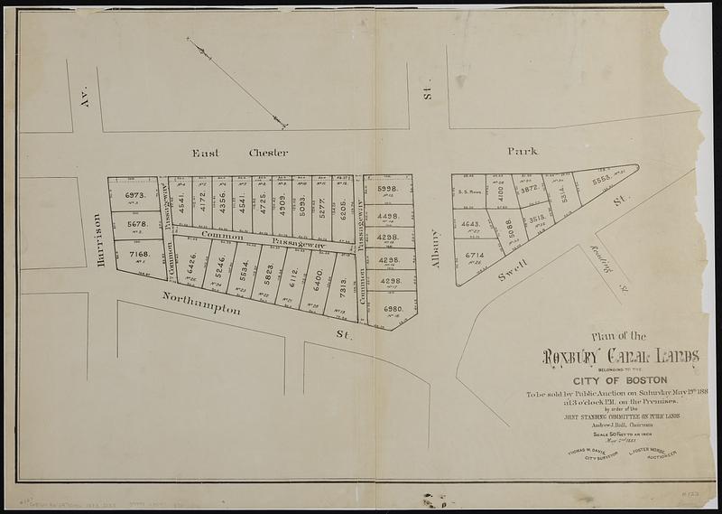
Plan of the Roxbury Canal lands belonging to the city of Boston to be sold by public auction on Saturday May 19th 1883 at 3 o'clock p.m. on the premises : by order of the Joint Standing Committee on Public Lands, Andrew J. Hall, chairman
Item Information
- Title:
- Plan of the Roxbury Canal lands belonging to the city of Boston to be sold by public auction on Saturday May 19th 1883 at 3 o'clock p.m. on the premises : by order of the Joint Standing Committee on Public Lands, Andrew J. Hall, chairman
- Cartographer:
- Davis, Thomas W. (Surveyor)
- Name on Item:
-
Thomas W. Davis, city surveyor ; L. Foster Morse, auctioneer
- Date:
-
1883
- Format:
-
Maps/Atlases
- Genre:
-
Cadastral maps
- Location:
-
Boston Public Library
Norman B. Leventhal Map & Education Center - Collection (local):
-
Norman B. Leventhal Map & Education Center Collection
- Subjects:
-
Roxbury (Boston, Mass.)--Maps
Real property auctions--Massachusetts--Boston--Maps
- Places:
-
MassachusettsSuffolk (county)BostonRoxbury
- Extent:
- 1 map ; 49 x 72 cm
- Terms of Use:
-
No known copyright restrictions.
No known restrictions on use.
- Publisher:
-
[Boston] :
[Publisher not identified]
- Scale:
-
Scale 1:600. 50 feet to an inch
- Language:
-
English
- Notes:
-
Oriented with north to the upper left.
- Identifier:
-
06_01_018988
- Call #:
-
G3764.B6:2R7G46 1883 .D38
- Barcode:
-
39999085971370


