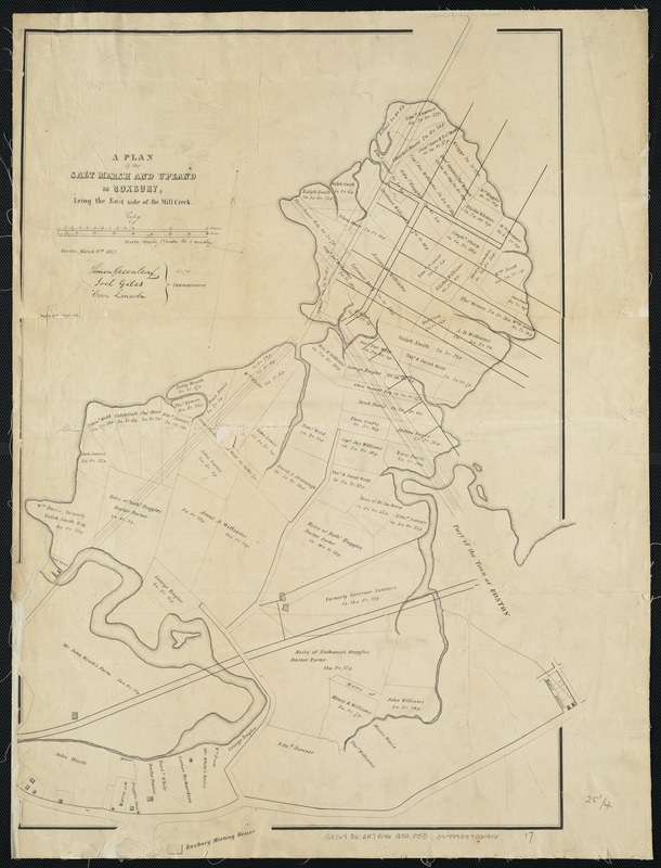
A plan of the salt marsh and upland in Roxbury, lying the east side of the Mill Creek
Item Information
- Title:
- A plan of the salt marsh and upland in Roxbury, lying the east side of the Mill Creek
- Name on Item:
-
Simon Greenleaf, Joel Giles, Ezra Lincoln, commissioners.
- Date:
-
1852
- Format:
-
Maps/Atlases
- Location:
-
Boston Public Library
Norman B. Leventhal Map & Education Center - Collection (local):
-
Norman B. Leventhal Map & Education Center Collection
- Subjects:
-
Real property--Massachusetts--Boston--Roxbury--Maps
Land tenure--Massachusetts--Boston--Roxbury--Maps
Roxbury (Boston, Mass.)--Maps
- Places:
-
MassachusettsSuffolk (county)BostonRoxbury
- Extent:
- 1 map ; 66 x 46 cm.
- Terms of Use:
-
No known copyright restrictions.
No known restrictions on use.
- Publisher:
-
[Boston, Mass.] :
Tappan & Bradford's Lith
- Scale:
-
Scale: 1:3,335.
- Language:
-
English
- Notes:
-
Oriented with north toward the upper right.
Issued with: Massachusetts Senate documents, 1852 (no. 45).
- Identifier:
-
06_01_003895
- Call #:
-
G3764.B6:2R7G46 1852 .P53
- Barcode:
-
39999059002616


