Toggle navigation
LMEC Home
Exhibitions
Georeferencing
Tools for Teachers
Collections
My Favorites
Sign Up / Log In
Search
Search the map portal
Map Collection
Map Collection
Map Sets
Search
Search
Search for
Search In
All Fields
Creator
Title
Subject
Place
Search All Digital Collections
Advanced Search
9047 Results
My Search
Start Over
More Like
commonwealth:t722kt13r
Remove constraint More Like: commonwealth:t722kt13r
Filter your Search
Place
North and Central America
6,278
United States
5,196
Massachusetts
2,149
Suffolk (county)
1,398
Europe
1,396
Boston
1,371
Canada
449
Asia
438
more
Place
»
Topic
Boston (Mass.)--Maps
677
City planning--Massachusetts--Boston--Maps
418
United States--Maps
282
Urban renewal--Massachusetts--Boston--Maps
252
Real property--Massachusetts--Boston--Maps
216
Massachusetts--Maps
162
Landowners--Massachusetts--Boston--Maps
135
North America--Maps--Early works to 1800
103
more
Topic
»
Date
Date range begin
–
Date range end
Current results range from
1482
to
2023
View distribution
Creator
United States. Hydrographic Office
595
Boston Redevelopment Authority
391
O.H. Bailey & Co
148
Des Barres, Joseph F. W. (Joseph Frederick Wallet), 1722-1824
123
United States. Post Office Dept
120
Ptolemy, 2nd cent
100
Walling, Henry Francis, 1825-1888
94
Geological Survey (U.S.)
86
more
Creator
»
Format
Maps/Atlases
8,987
Manuscripts
215
Prints
56
Books
36
Objects/Artifacts
10
Drawings/Illustrations
8
Posters
5
Georeferenced
Yes
869
No
8,178
Collection
Norman B. Leventhal Map & Education Center Collection
8,694
Boston and New England Maps
2,585
Urban Maps
2,373
Maritime Charts and Atlases
1,083
American Revolutionary War-Era Maps
616
Boston Redevelopment Authority Collection
439
Available to use
No known restrictions
8,905
Creative Commons license
47
Search Constraints
Sort by relevance
relevance
title
date (asc)
date (desc)
Number of results to display per page
20 per page
10
per page
20
per page
50
per page
100
per page
View results as:
grid view
map view
Search Results
2561.
E.P. Dutton & Co.'s railroad, steam boat & stage route map of New England, New-York and Canada
2562.
Episcopatus Dunelmensis vulgo The Bishoprike of Durham
2563.
An epitome of Sr. William Petty's large survey of Ireland divided into its 4 provinces & 32 counties ... and bridges
2564.
Erez Israel = Erets Yiśraʼel : adamah ʻIvrit
2565.
Erie Harbor
2566.
Eslam or the countries which have professed the faith of Mahomet
2567.
Essex
2568.
Essex
2569.
Essex actually surveyed with the several Roads from London &c
2570.
Essex County
2571.
Essex County, Massachusetts
2572.
Essex, Mass., Conomo & Falls Village
2573.
Essexiae descriptio = The description of Essex
2574.
The estate of the Brookline Land Company : June 20, 1860
2575.
États Unis
2576.
Ethnographical map of Hungary based on the density of population
2577.
Ethnographische karte von Britisch America : verbreitung der indianer
2578.
Europ, and the cheife cities contayned therin, described; with the habits of most kingdoms now in use
2579.
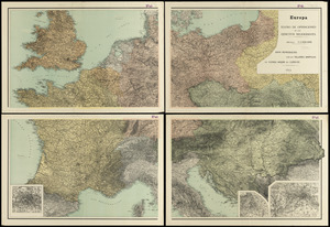
Europa : teatro de operaciones de los ejercitos beligerantes
2580.
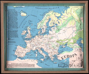
Europa
‹ Prev
Next ›
1
2
…
125
126
127
128
129
130
131
132
133
…
452
453