Toggle navigation
LMEC Home
Exhibitions
Georeferencing
Tools for Teachers
Collections
My Favorites
Sign Up / Log In
Search
Search the map portal
Map Collection
Map Collection
Map Sets
Search
Search
Search for
Search In
All Fields
Creator
Title
Subject
Place
Search All Digital Collections
Advanced Search
8660 Results
My Search
Start Over
More Like
commonwealth:st74cw58d
Remove constraint More Like: commonwealth:st74cw58d
Filter your Search
Place
North and Central America
5,892
United States
4,808
Massachusetts
2,068
Europe
1,392
Suffolk (county)
1,041
Boston
1,014
Canada
450
Asia
437
more
Place
»
Topic
Boston (Mass.)--Maps
582
United States--Maps
279
Real property--Massachusetts--Boston--Maps
175
Massachusetts--Maps
161
Landowners--Massachusetts--Boston--Maps
133
North America--Maps--Early works to 1800
108
New England--Maps
101
Europe--Maps
79
more
Topic
»
Date
Date range begin
–
Date range end
Current results range from
1482
to
2023
View distribution
Creator
United States. Hydrographic Office
595
O.H. Bailey & Co
148
Des Barres, Joseph F. W. (Joseph Frederick Wallet), 1722-1824
123
United States. Post Office Dept
120
Ptolemy, 2nd cent
100
Walling, Henry Francis, 1825-1888
94
Jefferys, Thomas, -1771
88
Geological Survey (U.S.)
86
more
Creator
»
Format
Maps/Atlases
8,600
Manuscripts
218
Prints
56
Books
36
Objects/Artifacts
10
Drawings/Illustrations
8
Posters
5
Georeferenced
Yes
870
No
7,790
Collection
Norman B. Leventhal Map & Education Center Collection
8,646
Boston and New England Maps
2,221
Urban Maps
1,992
Maritime Charts and Atlases
1,083
American Revolutionary War-Era Maps
629
Boston Redevelopment Authority Collection
87
Richard H. Brown Revolutionary War Map Collection at Mount Vernon
6
MacLean Collection Map Library
3
more
Collection
»
Available to use
No known restrictions
8,504
Creative Commons license
56
Search Constraints
Sort by relevance
relevance
title
date (asc)
date (desc)
Number of results to display per page
20 per page
10
per page
20
per page
50
per page
100
per page
View results as:
grid view
map view
Search Results
1.
Les isles Antilles &c. entre lesquelles sont les Lucayes, et les Caribes
2.
Cuba Insula ; Hispaniola Insula
3.
The Caribbee Islands and Guayana
4.
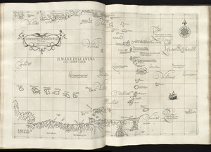
Carta particolare dell'India Ocidentale, con la terra ferma dal' capo di Paria sin al' capo S. Romano
5.
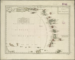
Carte des Antilles
6.
A chart of the Caribe islands
7.
A chart of the Caribe Islands
8.
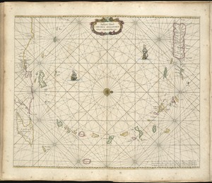
Pascaert vande Caribes Eylanden
9.
Supplement pour les Isles Antilles, extrait des carte Angloises
10.
Carta particolare del'Isola di Cuba è di Iamaica con il capo della Florida è l'Isola Intorno
11.
Carta particolare dell'Isola Ispaniola è S. Gioni. nel'India ocidentle. con l'Isola Intorno
12.
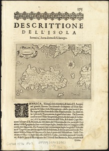
Iamaica
13.
Théatre de la guerre en Amerique, avec les Isles Antilles : projetté et assujettie aux observations
14.
Théatre de la guerre en Amerique, avec les Isles Antilles : projetté et assujettie aux observations
15.
The Windward passage from Jamaica, betwene the east end of Cuba, and the west end of Hispaniola
16.
Beschryvinghe der eylanden van Cuba, Hispaniola, Iamaica, S. Ioannis ende Margarita
17.
Carta esferica que comprende una parta de las Islas Antillas, las de Puerto Rico, Santo Domingo y Jamayca y Cuba : con los...
18.
Carta particolare dell' Isola di Bermuda sin all' India Occidentale et al' capo S. Romano della Florida
19.
Carte des isles Antilles et du Golfe du Mexique : avec la majeure partie de la nouvelle Espagne
20.
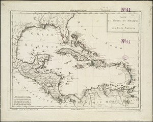
Carte du Golfe du Mexique et des Isles Antilles
‹ Prev
Next ›
1
2
3
4
5
…
432
433