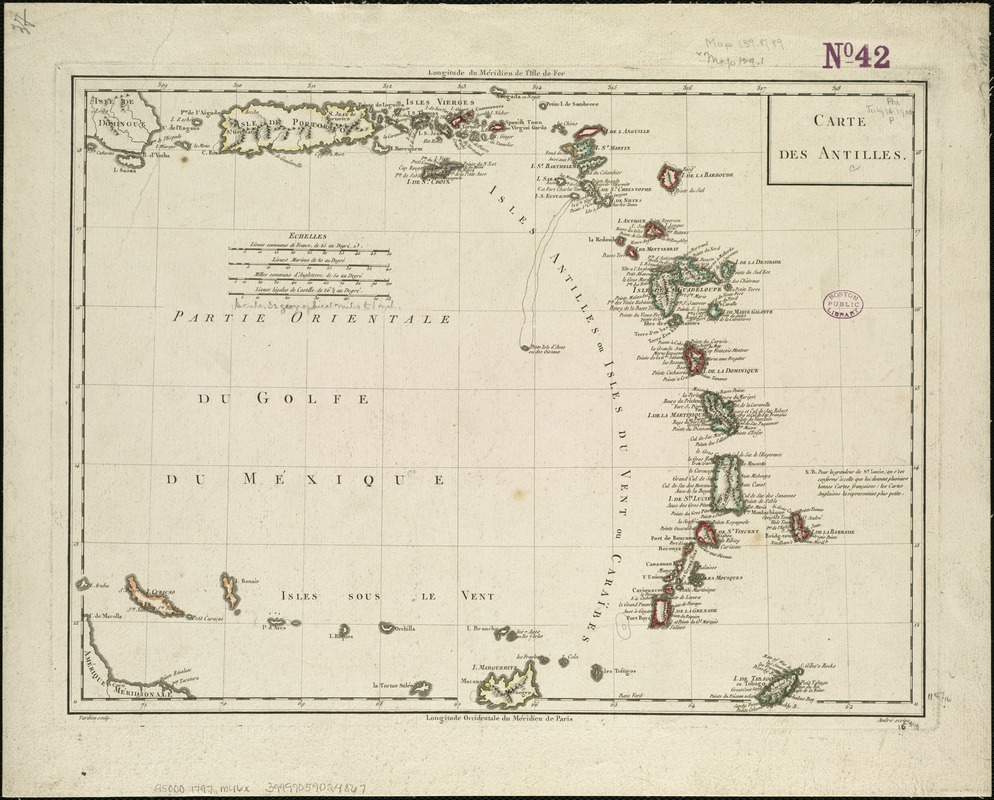
Carte des Antilles
This map is also available in American Revolutionary Geographies Online (ARGO), a collections portal especially built for material relating to the American Revolutionary War Era. Visit ARGO to learn more about this item and explore the historical geography of North America in the late eighteenth century.
Item Information
- Title:
- Carte des Antilles
- Creator:
- Mentelle, E. (Edme), 1730-1815
- Name on Item:
-
Tardieu sculp. ; André scrips.
- Date:
-
[1797–1801]
- Format:
-
Maps/Atlases
- Location:
-
Boston Public Library
Norman B. Leventhal Map & Education Center - Collection (local):
-
Norman B. Leventhal Map & Education Center Collection
- Subjects:
-
Antilles, Lesser--Maps--Early works to 1800
Leeward Islands (West Indies)--Maps--Early works to 1800
West Indies, French--Maps--Early works to 1800
- Places:
-
Lesser Antilles (area)
Leeward Islands (area)
Antilles françaises (area)
- Extent:
- 1 map : col. ; 31 x 42 cm.
- Terms of Use:
-
No known copyright restrictions.
No known restrictions on use.
- Publisher:
-
Paris :
Chez les Auteurs, P.G. Chanlaire et E. Mentelle
- Scale:
-
Scale [ca. 1:2,777,775].
- Language:
-
French
- Notes:
-
Relief shown pictorially.
Cataloging, conservation, and digitization made possible in part by The National Endowment for the Humanities: Exploring the human endeavor.
- Notes (date):
-
This date is inferred.
- Identifier:
-
06_01_006344
- Call #:
-
G5000 1797 .M46x
- Barcode:
-
39999059024867