Toggle navigation
LMEC Home
Exhibitions
Georeferencing
Tools for Teachers
Collections
My Favorites
Sign Up / Log In
Search
Search the map portal
Map Collection
Map Collection
Map Sets
Search
Search
Search for
Search In
All Fields
Creator
Title
Subject
Place
Search All Digital Collections
Advanced Search
8773 Results
My Search
Start Over
More Like
commonwealth:qj72rq70n
Remove constraint More Like: commonwealth:qj72rq70n
Filter your Search
Place
North and Central America
6,004
United States
4,922
Massachusetts
2,088
Europe
1,396
Suffolk (county)
1,124
Boston
1,097
Canada
449
Asia
438
more
Place
»
Topic
Boston (Mass.)--Maps
606
United States--Maps
282
Real property--Massachusetts--Boston--Maps
253
Landowners--Massachusetts--Boston--Maps
170
Massachusetts--Maps
162
City planning--Massachusetts--Boston--Maps
108
North America--Maps--Early works to 1800
103
New England--Maps
102
more
Topic
»
Date
Date range begin
–
Date range end
Current results range from
1482
to
2023
View distribution
Creator
United States. Hydrographic Office
595
O.H. Bailey & Co
148
Des Barres, Joseph F. W. (Joseph Frederick Wallet), 1722-1824
123
United States. Post Office Dept
120
Boston Redevelopment Authority
110
Ptolemy, 2nd cent
100
Walling, Henry Francis, 1825-1888
94
Geological Survey (U.S.)
86
more
Creator
»
Format
Maps/Atlases
8,713
Manuscripts
215
Prints
56
Books
36
Objects/Artifacts
10
Drawings/Illustrations
8
Posters
5
Georeferenced
Yes
869
No
7,904
Collection
Norman B. Leventhal Map & Education Center Collection
8,695
Boston and New England Maps
2,276
Urban Maps
2,066
Maritime Charts and Atlases
1,083
American Revolutionary War-Era Maps
616
Boston Redevelopment Authority Collection
129
Massachusetts Real Estate Atlases
35
Applied Geographics, Inc. Records
1
Available to use
No known restrictions
8,596
Creative Commons license
47
Search Constraints
Sort by relevance
relevance
title
date (asc)
date (desc)
Number of results to display per page
20 per page
10
per page
20
per page
50
per page
100
per page
View results as:
grid view
map view
Search Results
4561.
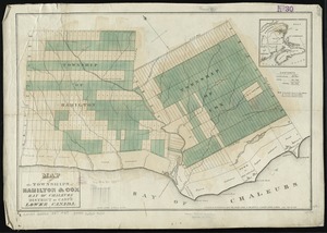
Map of the townships of Hamilton & Cox, Bay of Chaleurs, District of Caspé, Lower Canada
4562.
Map of the Troy & Greenfield Rail Road and its connections
4563.
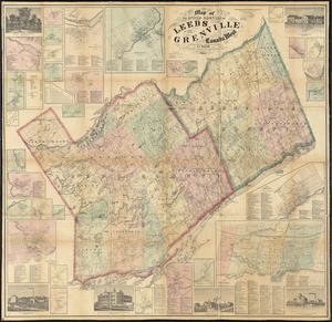
Map of the United Counties of Leeds and Grenville, Canada West
4564.
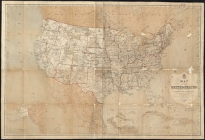
Map of the United States
4565.
Map of the United States : intending chiefly to exhibit the post roads & distances
4566.
Map of the United States
4567.
Map of the United States
4568.
Map of the United States
4569.
A map of the United States
4570.
A map of the United States : compiled chiefly from the state maps, and other authentic information
4571.
Map of the United States
4572.
Map of the United States
4573.
A map of the United States and Canada, New-Scotland, New-Brunswick and New-Foundland = Carte des Etats-Unis avec le Canada, la...
4574.
Map of the United States and territories, showing the extent of public surveys and other details
4575.
Map of the United States and territories, showing the extent of public surveys and other details constructed from the plats and...
4576.
Map of the United States and territories, showing the possessions and aggressions of the slave power
4577.
Map of the United States and territories with adjacent parts of Canada and Mexico, also part of the West India Islands :...
4578.
Map of the United States and their territories between the Mississippi and the Pacific Ocean; and part of Mexico
4579.
Map of the United States, British & Central America : from state documents & unpublished materials
4580.
Map of the United States, constructed from the latest authorities
‹ Prev
Next ›
1
2
…
225
226
227
228
229
230
231
232
233
…
438
439