Toggle navigation
LMEC Home
Exhibitions
Georeferencing
Tools for Teachers
Collections
My Favorites
Sign Up / Log In
Search
Search the map portal
Map Collection
Map Collection
Map Sets
Search
Search
Search for
Search In
All Fields
Creator
Title
Subject
Place
Search All Digital Collections
Advanced Search
8713 Results
My Search
Start Over
More Like
commonwealth:q524n486h
Remove constraint More Like: commonwealth:q524n486h
Filter your Search
Place
North and Central America
5,941
United States
4,858
Massachusetts
2,079
Europe
1,396
Suffolk (county)
1,046
Boston
1,019
Canada
450
Asia
438
more
Place
»
Topic
Boston (Mass.)--Maps
586
United States--Maps
282
Real property--Massachusetts--Boston--Maps
175
Massachusetts--Maps
162
Landowners--Massachusetts--Boston--Maps
133
North America--Maps--Early works to 1800
106
New England--Maps
102
Europe--Maps
79
more
Topic
»
Date
Date range begin
–
Date range end
Current results range from
1482
to
2023
View distribution
Creator
United States. Hydrographic Office
595
O.H. Bailey & Co
148
Des Barres, Joseph F. W. (Joseph Frederick Wallet), 1722-1824
123
United States. Post Office Dept
120
Ptolemy, 2nd cent
100
Walling, Henry Francis, 1825-1888
94
Geological Survey (U.S.)
86
Jefferys, Thomas, -1771
84
more
Creator
»
Format
Maps/Atlases
8,653
Manuscripts
217
Prints
56
Books
36
Objects/Artifacts
10
Drawings/Illustrations
8
Posters
5
Georeferenced
Yes
869
No
7,844
Collection
Norman B. Leventhal Map & Education Center Collection
8,694
Boston and New England Maps
2,233
Urban Maps
2,023
Maritime Charts and Atlases
1,083
American Revolutionary War-Era Maps
635
Boston Redevelopment Authority Collection
87
MacLean Collection Map Library
10
Richard H. Brown Revolutionary War Map Collection at Mount Vernon
5
more
Collection
»
Available to use
No known restrictions
8,553
Creative Commons license
53
Search Constraints
Sort by relevance
relevance
title
date (asc)
date (desc)
Number of results to display per page
20 per page
10
per page
20
per page
50
per page
100
per page
View results as:
grid view
map view
Search Results
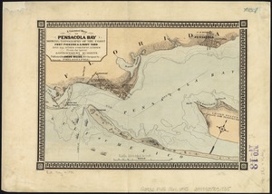
1821.
A correct map of Pensacola Bay showing topography of the coast, Fort Pickens, U.S. Navy Yard, and all other fortifications from...
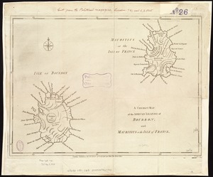
1822.
A correct map of the African islands of Bourbon, and Mauritius or the Isle of France
1823.
A correct map of the coast of New England
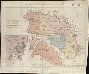
1824.
A Correct map of the island of Minorca, with an accurate plan of Fort St. Philip & its environs, and the French approaches and...
1825.
A correct map of the seat of war in Mexico : being a copy of Genl. Arista's map, taken at Resaca de la Palma, with additions...
1826.
A correct plan of the environs of Quebec, and of the battle fought on the 13th September, 1759 : together with a particular...
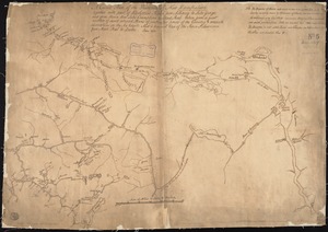
1827.
A correct plan of the province of New Hampshire together with part of the Hudsons River from Albany to Lake George and from...
1828.
Corso del fiume dell Amazon
1829.
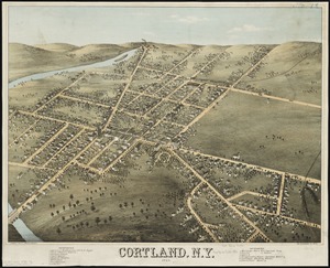
Cortland, N.Y : 1873
1830.
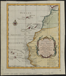
Costa occidentale dell' Africa dallo Stretto di Gibilterra fino al XI grado di latitudine settentrionale tratta dalla carta...
1831.
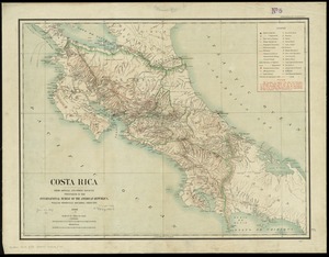
Costa Rica : from official and other sources
1832.
Coste occidentale d'Afrique, depuis le Détroit de Gibraltar jusqu' au XIe dégré de latitude septentrionale : tirée de la...
1833.
Cottage City, Martha's Vineyard, Mass
1834.
The cotton kingdom
1835.
The counti of Warwick the shire towne and citie of Coventre described
1836.
The counties of Southern California
1837.
The countries of the Caribbean : including Mexico, Central America, the West Indies and the Panama Canal
1838.
The country around Herat : projected from Major Holditch's map
1839.
The country of So red the rose, by Stark Young, Scribners
1840.
The country round Washington : the Chesapeake and the Potomac
‹ Prev
Next ›
1
2
…
88
89
90
91
92
93
94
95
96
…
435
436