Toggle navigation
LMEC Home
Exhibitions
Georeferencing
Tools for Teachers
Collections
My Favorites
Sign Up / Log In
Search
Search the map portal
Map Collection
Map Collection
Map Sets
Search
Search
Search for
Search In
All Fields
Creator
Title
Subject
Place
Search All Digital Collections
Advanced Search
8810 Results
My Search
Start Over
More Like
commonwealth:q524n460c
Remove constraint More Like: commonwealth:q524n460c
Filter your Search
Place
North and Central America
6,011
United States
4,926
Massachusetts
2,079
Europe
1,396
Suffolk (county)
1,046
Boston
1,019
Canada
501
Asia
438
more
Place
»
Topic
Boston (Mass.)--Maps
586
United States--Maps
282
Real property--Massachusetts--Boston--Maps
175
Massachusetts--Maps
162
Landowners--Massachusetts--Boston--Maps
133
North America--Maps--Early works to 1800
110
United States--Maps--Early works to 1800
103
New England--Maps
102
more
Topic
»
Date
Date range begin
–
Date range end
Current results range from
1482
to
2023
1482 : 2024
1482
2024
View distribution
Creator
United States. Hydrographic Office
595
O.H. Bailey & Co
148
Des Barres, Joseph F. W. (Joseph Frederick Wallet), 1722-1824
123
United States. Post Office Dept
120
Ptolemy, 2nd cent
100
Walling, Henry Francis, 1825-1888
94
Jefferys, Thomas, -1771
87
Geological Survey (U.S.)
86
more
Creator
»
Format
Maps/Atlases
8,750
Manuscripts
217
Prints
56
Books
36
Objects/Artifacts
10
Drawings/Illustrations
8
Posters
5
Georeferenced
Yes
872
No
7,938
Collection
Norman B. Leventhal Map & Education Center Collection
8,696
Boston and New England Maps
2,233
Urban Maps
2,023
Maritime Charts and Atlases
1,083
American Revolutionary War-Era Maps
729
Boston Redevelopment Authority Collection
87
MacLean Collection Map Library
67
New York Public Library Collection
16
more
Collection
»
Available to use
No known restrictions
8,556
Creative Commons license
80
Search Constraints
Sort by relevance
relevance
title
date (asc)
date (desc)
Number of results to display per page
20 per page
10
per page
20
per page
50
per page
100
per page
View results as:
grid view
map view
Search Results
1.
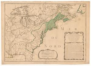
British dominions in America, drawn from the latest and best authorities
2.
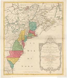
Carte d'une partie de l'Amérique Septentrionale pour servir à l'intelligence du mémoire sur les prétentions des Anglois au...
3.
Carte minéralogique, où l'on voit la nature des terreins du Canada et de la Louisiane
4.
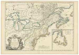
Map of the United States in North America : with the British, French and Spanish dominions adjoining, according to the treaty...
5.
A new map of North America
6.
A new map of the United States of North America with the British dominions on that continent &c
7.
The United States of America with the British possessions of Canada, Nova Scotia, New Brunswick and Newfoundland divided with...
8.
The United States of North America : with the British territories and those of Spain according to the treaty of 1784
9.
America
10.
British dominions in America agreeable to the treaty of 1763 : divided into the several provinces, and jurisdictions
11.
Canada Louisiane et terres angloises
12.
Canada Louisiane et terres angloises
13.
Carte du Canada et de la Louisiane qui forment la Nouvelle France et des colonies angloises ou sont representez les pays...
14.
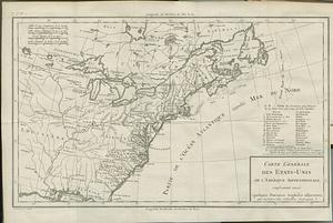
Carte du Canada et des Etats-Unis de l'Amérique Septentrionale
15.
Carte du Canada et des Etats-Unis de l'Amerique Septentrionale
16.
Carte générale des Etats-Unis de l'Amerique Septentrionale, renfermant aussi quelques provinces angloises adjacentes, pour les...
17.
Carte nouvelle de l'Amerique angloise contenant tout ce que les anglois possedent sur le continent de l'Amerique Septentrionale...
18.
A map of Canada and the north part of Louisiana with the adjacent countrys
19.
A map of the British and French dominions in North America : with the roads, distances, limits, and extent of the settlements,...
20.
A map of the northern and middle states : comprehending the western territory and the British dominions in North America, from...
‹ Prev
Next ›
1
2
3
4
5
…
440
441