Toggle navigation
LMEC Home
Exhibitions
Georeferencing
Tools for Teachers
Collections
My Favorites
Sign Up / Log In
Search
Search the map portal
Map Collection
Map Collection
Map Sets
Search
Search
Search for
Search In
All Fields
Creator
Title
Subject
Place
Search All Digital Collections
Advanced Search
8951 Results
My Search
Start Over
More Like
commonwealth:m900r596w
Remove constraint More Like: commonwealth:m900r596w
Filter your Search
Place
North and Central America
6,182
United States
5,098
Massachusetts
2,174
Europe
1,396
Suffolk (county)
1,297
Boston
1,270
Canada
449
Asia
438
more
Place
»
Topic
Boston (Mass.)--Maps
753
United States--Maps
282
Real property--Massachusetts--Boston--Maps
254
City planning--Massachusetts--Boston--Maps
213
Landowners--Massachusetts--Boston--Maps
170
Massachusetts--Maps
166
Urban renewal--Massachusetts--Boston--Maps
119
New England--Maps
104
more
Topic
»
Date
Date range begin
–
Date range end
Current results range from
1482
to
2023
View distribution
Creator
United States. Hydrographic Office
595
Boston Redevelopment Authority
217
O.H. Bailey & Co
148
Des Barres, Joseph F. W. (Joseph Frederick Wallet), 1722-1824
124
United States. Post Office Dept
120
Ptolemy, 2nd cent
100
Walling, Henry Francis, 1825-1888
94
Geological Survey (U.S.)
87
more
Creator
»
Format
Maps/Atlases
8,890
Manuscripts
215
Prints
56
Books
36
Objects/Artifacts
10
Drawings/Illustrations
9
Posters
5
Georeferenced
Yes
885
No
8,066
Collection
Norman B. Leventhal Map & Education Center Collection
8,726
Boston and New England Maps
2,418
Urban Maps
2,201
Maritime Charts and Atlases
1,083
American Revolutionary War-Era Maps
642
Boston Redevelopment Authority Collection
249
Massachusetts Real Estate Atlases
38
Mapping Boston Collection
21
more
Collection
»
Available to use
No known restrictions
8,724
Creative Commons license
71
Search Constraints
Sort by relevance
relevance
title
date (asc)
date (desc)
Number of results to display per page
20 per page
10
per page
20
per page
50
per page
100
per page
View results as:
grid view
map view
Search Results
6321.
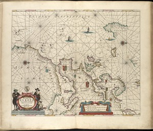
Pas-kaart van Europa met een gedeelte van de kust van Africa tot aen Cabo Verde
6322.
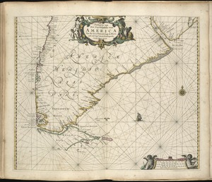
Paskaarte van Het Zuydelijckste van America van Rio de la Plata, tot Caap de Hoorn, ende inde Zuyd Zee, tot B. de Koquimbo
6323.
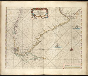
Paskaarte van't zuÿdelÿckste Deel van America, van Cabo St. Antonio, to Caep de Hoorn, en de inde Zuÿd Zee, tot B. de Tongoÿ
6324.
Paskaert van Brasilia van Pernambuco tot C. de S. Antonio
6325.
Paskaert van de Noordelijckste kuste van America van Groenland door de Straet Davis en de Straet Hudson tot Terra Neuf
6326.
Paskaerte van de Zuÿdt en Noordt Revier in Nieu Nederlant streckende van Cabo Hinloopen tot Rechkewach
6327.
Paskaerte van Nova Granada en t'Eylandt California
6328.
Paskaerte Zÿnde de Noordelijckfte Zeekuften van America van Groenland door de Straet Davis en de Straet Hudson tot Terra Neuf
6329.
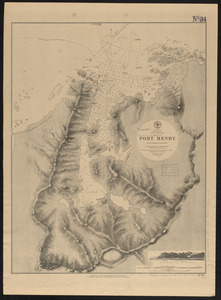
Patagonia w.c., Gulf of Trinidad, Port Henry : from a British survey in 1879
6330.
Path map of the eastern part of Mount Desert Island, Maine
6331.
Path map of the eastern part of Mount Desert Island, Maine
6332.
Path map of the eastern part of Mount Desert Island, Maine
6333.
Path map of the Eastern part of Mount Desert Island Maine
6334.
Path map of the eastern part of Mount Desert Island, Maine
6335.
Path map of the eastern part of Mount Desert Island, Maine
6336.
Paul Sample's America, its soil
6337.
Pawtuxet, Rhode Island : 1890
6338.
La Paz : South America 1:1,000,000
6339.
Peace map of the world united : a pictorial history of transportation and communications from Jonah to the jet plane as paths...
6340.
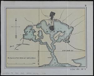
Pearl Harbor
‹ Prev
Next ›
1
2
…
313
314
315
316
317
318
319
320
321
…
447
448