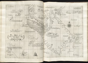
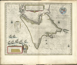
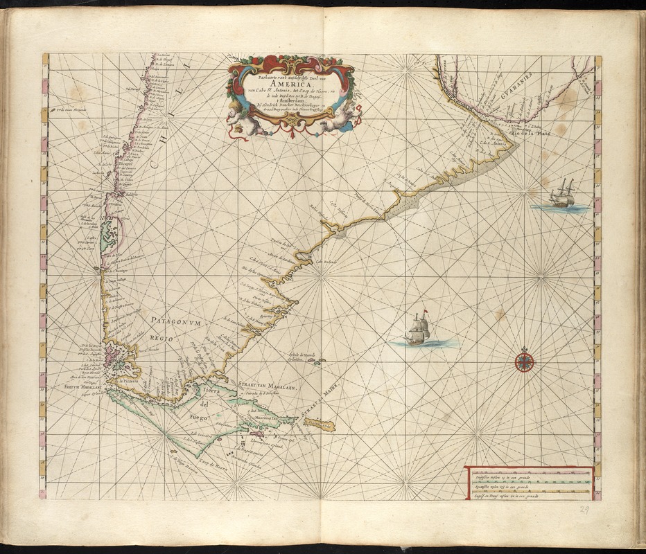
Paskaarte van't zuÿdelÿckste Deel van America, van Cabo St. Antonio, to Caep de Hoorn, en de inde Zuÿd Zee, tot B. de Tongoÿ
Item Information
- Title:
- Paskaarte van't zuÿdelÿckste Deel van America, van Cabo St. Antonio, to Caep de Hoorn, en de inde Zuÿd Zee, tot B. de Tongoÿ
- Creator:
- Doncker, Hendrick, 1626-1699
- Name on Item:
-
By Hendrick Doncker.
- Date:
-
[1660]
- Format:
-
Maps/Atlases
- Location:
-
Boston Public Library
Norman B. Leventhal Map & Education Center - Collection (local):
-
Norman B. Leventhal Map & Education Center Collection
- Subjects:
-
Tierra del Fuego (Argentina and Chile)--Maps--Early works to 1800
Southern Cone of South America--Maps--Early works to 1800
- Places:
-
Tierra del Fuego (archipelago)
Southern Cone
- Extent:
- 1 map : hand col. ; 43 x 52 cm.
- Terms of Use:
-
No known copyright restrictions.
No known restrictions on use.
- Publisher:
-
Amsterdam :
By Hendrik Doncker, boeckverkooper, en graat-boog-maker, in de Nieuwe-brug-steegh, in 't Stuurmans Gereetschap
- Scale:
-
Scale ca. 1:7,900,000.
- Language:
-
Dutch
- Notes:
-
Map of the southern portion of Argentina and Chile, with Tierra del Fuego.
From the author's Zee-atlas of Water-waerelt. Amsterdam : Hendrick Doncker, Anno 1660 [i.e. 1665].
Cataloging, conservation, and digitization made possible in part by The National Endowment for the Humanities: Exploring the human endeavor.
Atlas scanned by Internet Archive http://archive.org/details/dezeeatlasofwate00donc
- Notes (date):
-
This date is inferred.
- Identifier:
-
06_01_007874
- Call #:
-
G1059 .D66 1665
- Barcode:
-
30000003765654