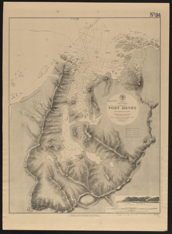
Patagonia w.c., Gulf of Trinidad, Port Henry : from a British survey in 1879
Item Information
- Title:
- Patagonia w.c., Gulf of Trinidad, Port Henry : from a British survey in 1879
- Title (alt.):
-
Port Henry
- Issuing body:
- United States. Hydrographic Office
- Date:
-
1882
- Format:
-
Maps/Atlases
- Location:
-
Boston Public Library
Norman B. Leventhal Map & Education Center - Collection (local):
-
Norman B. Leventhal Map & Education Center Collection
- Subjects:
-
Nautical charts--Chile--Puerto Henry
Puerto Henry (Chile)--Maps
- Places:
-
ChileMagallanes y de la Antártica Chilena (region)Henry, Puerto (harbor)
- Extent:
- 1 map ; 57 x 44 cm
- Terms of Use:
-
No known copyright restrictions.
No known restrictions on use.
- Publisher:
-
Washington, D.C. :
Hydrographic Office
- Scale:
-
Scale approximately 1:13,500
- Language:
-
English
- Notes:
-
Relief shown by hachures and spot heights.Depths shown by soundings and isolines.
Includes view of Port Henry, from the westward.
- Identifier:
-
06_01_015839
- Call #:
-
G9096.P5 svar .U55
- Barcode:
-
39999085940623


