Toggle navigation
LMEC Home
Exhibitions
Georeferencing
Tools for Teachers
Collections
My Favorites
Sign Up / Log In
Search
Search the map portal
Map Collection
Map Collection
Map Sets
Search
Search
Search for
Search In
All Fields
Creator
Title
Subject
Place
Search All Digital Collections
Advanced Search
102 Results
My Search
Start Over
More Like
commonwealth:j38608797
Remove constraint More Like: commonwealth:j38608797
Filter your Search
Place
North and Central America
50
United States
36
New England
20
Massachusetts
16
Atlantic Ocean
14
North America
9
Rhode Island
8
New York
7
more
Place
»
Topic
New England--Maps--Early works to 1800
15
World maps--Early works to 1800
13
Atlantic Ocean--Maps
12
America--Maps--Early works to 1800
9
North America--Maps--Early works to 1800
9
Massachusetts--Maps
8
Western Hemisphere--Maps--Early works to 1800
6
Connecticut--Maps--Early works to 1800
5
more
Topic
»
Date
Date range begin
–
Date range end
Current results range from
1482
to
1901
View distribution
Creator
Ortelius, Abraham, 1527-1598
5
Bew, John, -1793
3
Bordon, Benedetto, 1450-1530
3
Gastaldi, Giacomo, approximately 1500-approximately 1565
3
Hondius, Jodocus, 1594 or 1595-1629
3
Lodge, John, -1796
3
Mercator, Gerhard, 1512-1594
3
Münster, Sebastian, 1489-1552
3
more
Creator
»
Format
Maps/Atlases
102
Books
1
Georeferenced
Yes
10
No
92
Collection
Sidney R. Knafel Map Collection at Phillips Academy
87
American Revolutionary War-Era Maps
36
Norman B. Leventhal Map & Education Center Collection
5
William L. Clements Library Collection
5
Richard H. Brown Revolutionary War Map Collection at Mount Vernon
2
American Antiquarian Society Collection
1
MacLean Collection Map Library
1
Maritime Charts and Atlases
1
more
Collection
»
Available to use
No known restrictions
6
Creative Commons license
2
Search Constraints
Sort by relevance
relevance
title
date (asc)
date (desc)
Number of results to display per page
20 per page
10
per page
20
per page
50
per page
100
per page
View results as:
grid view
map view
Search Results
1.
[Chart of the Gulf Stream]
2.
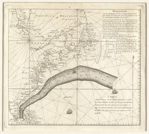
Remarques sur la navigation de terre-neuve à New-York afin d'eviter les courrants et les bas-fonds au sud de Nantuckett et du...
3.
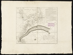
Remarques sur la navigation de terre-neuve à New-York afin d'eviter les courrants et les bas-fonds au sud de Nantuckett et du...
4.
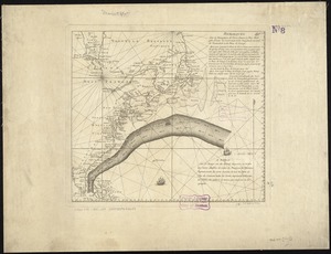
Remarques sur la navigation de terre-neuve à New-York afin d'eviter les courrants et les bas-fonds au sud de Nantuckett et du...
5.
Amerique Septentrionale
6.
Carte nouvelle des posséssions angloises en Amérique dressée pour l'intelligence de la guerre présente et divisée suivant les...
7.
Map of the powers at war with Great Britain, 1783
8.
Map of the United States of America, the British provinces, Mexico, the West Indies and Central America, with part of New...
9.
Naval chart of the Pacific and western Atlantic
10.
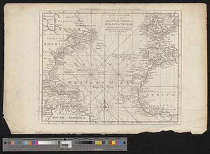
A new & accurate chart of the western or Atlantic Ocean : drawn from the most approved modern map &c.
11.
A new and accurate map of the English empire in North America : representing their rightful claim as confirm'd by charters, and...
12.
A new and accurate map of the English empire in North America : representing their rightful claim as confirm'd by charters, and...
13.
North Atlantic Ocean, ca. 1785
14.
Track of the U.S. surveying brig Dolphin : from September 1851 to July 1852 : [Atlantic Ocean]
15.
Triangles on Mercator projection between St. Augustine and Cape Breton and St. Augustine and Cape Ortegal
16.
An accurate map of Rhode Island, part of Connecticut and Massachusets, shewing Admiral Arbuthnot's station in blocking up...
17.
An accurate map of the English colonies in North America, bordering on the river Ohio
18.
America
19.
America sive India Nova : ad magnae Gerardi Mercatoris aui universalis imitationem in compendium redacta
20.
America sive novvs orbis respectv Evropaeorvm inferior globi terrestris pars
‹ Prev
Next ›
1
2
3
4
5
6
![[Chart of the Gulf Stream]](https://bpldcassets.blob.core.windows.net/derivatives/images/commonwealth:z603vr47j/image_thumbnail_300.jpg)