Toggle navigation
LMEC Home
Exhibitions
Georeferencing
Tools for Teachers
Collections
My Favorites
Sign Up / Log In
Search
Search the map portal
Map Collection
Map Collection
Map Sets
Search
Search
Search for
Search In
All Fields
Creator
Title
Subject
Place
Search All Digital Collections
Advanced Search
240 Results
My Search
Start Over
More Like
commonwealth:j3860843v
Remove constraint More Like: commonwealth:j3860843v
Filter your Search
Place
Europe
79
World
64
North and Central America
46
United States
34
New England
20
Massachusetts
16
Asia
14
Rhode Island
8
more
Place
»
Topic
Europe--Maps
79
World maps--Early works to 1800
76
New England--Maps--Early works to 1800
15
Franco-Prussian War, 1870-1871--Maps
12
America--Maps--Early works to 1800
11
Asia--Maps
11
Massachusetts--Maps
8
North America--Maps--Early works to 1800
8
more
Topic
»
Date
Date range begin
–
Date range end
Current results range from
1482
to
2004
View distribution
Creator
Ortelius, Abraham, 1527-1598
6
Carey, Mathew, 1760-1839
5
Gross, Alexander, 1879-1958
5
Mercator, Gerhard, 1512-1594
5
Bordon, Benedetto, 1450-1530
4
G.W. Bacon & Co.
4
George Philip & Son
4
Münster, Sebastian, 1489-1552
4
more
Creator
»
Format
Maps/Atlases
239
Manuscripts
2
Books
1
Prints
1
Georeferenced
Yes
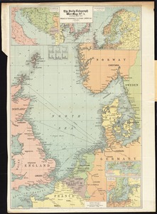
26
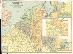
No
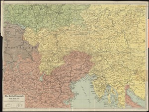
214
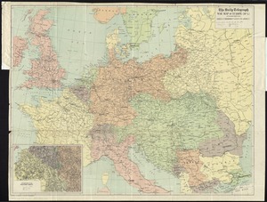
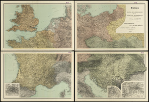
Collection
Norman B. Leventhal Map & Education Center Collection
153
Sidney R. Knafel Map Collection at Phillips Academy
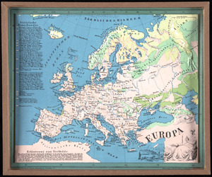
87
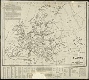
American Revolutionary War-Era Maps
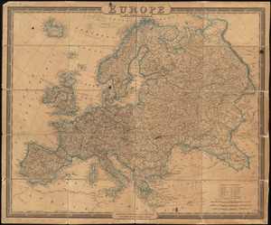
29
Mapping Boston Collection
19
Maritime Charts and Atlases
1
Available to use
No known restrictions
134
Creative Commons license
19
Search Constraints
Sort by relevance
relevance
title
date (asc)
date (desc)
Number of results to display per page
20 per page
10
per page
20
per page
50
per page
100
per page
View results as:
grid view
map view
Search Results
101.
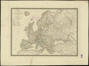
Carte générale de l'Europe, en 1824
102.
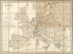
Carte itinéraire de l'Europe indiquant les limites actuelles des etats : dediée au Roi
103.
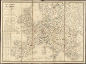
Carte itinéraire de l'Europe indiquant les limites actuelles des etats : dédiée au Roi
104.
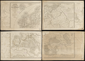
Carte physique, politique, statistique et comparative de l'Europe, dediée à S.E. le Lieutt. Génl. Comte Guilleminot pair de...
105.
Central & Eastern Europe (nationalities)
106.
A chart of the history of printing in Europe
107.
Collins' map of the seat of war
108.
Cruchley's map of Central Europe, shewing the new political divisions : also all the railways, &c.
109.
Daily mail war map
110.
The Daily Telegraph war map no. 10
111.
The Daily Telegraph war map no. 2
112.
The Daily Telegraph war map no. 3
113.
The Daily Telegraph war map no. 8
114.
The Daily Telegraph war map of Europe (no. 1)
115.
The eclipse map of the seat of war, between France and Prussia, 1870
116.
Eisenbahn, post und dampfschiffskarte von Europa = Railway, steam-boat and post map of Europe = Carte des chemins de fer, voies...
117.
Europa : teatro de operaciones de los ejercitos beligerantes
118.
Europa
119.
Europe
120.
Europe
‹ Prev
Next ›
1
2
3
4
5
6
7
8
9
10
11
12