Toggle navigation
LMEC Home
Exhibitions
Georeferencing
Tools for Teachers
Collections
My Favorites
Sign Up / Log In
Search
Search the map portal
Map Collection
Map Collection
Map Sets
Search
Search
Search for
Search In
All Fields
Creator
Title
Subject
Place
Search All Digital Collections
Advanced Search
391 Results
My Search
Start Over
More Like
commonwealth:hx11z600p
Remove constraint More Like: commonwealth:hx11z600p
Filter your Search
Place
North and Central America
351
United States
230
Canada
105
Essex (county)
24
Louisbourg
22
Saint Lawrence River
19
Charleston (county)
18
Charleston
17
more
Place
»
Topic
United States--History--French and Indian War, 1754-1763--Maps, Manuscript--Early works to 1800
58
Louisbourg (N.S.)--Maps, Manuscript--Early works to 1800
18
Fort Edward (N.Y.)--Maps, Manuscript--Early works to 1800
16
Fort Ticonderoga (N.Y.)--Maps, Manuscript--Early works to 1800
15
Saint Lawrence River--Maps, Manuscript--Early works to 1800
15
Louisbourg (N.S.)--History--Siege, 1745--Maps, Manuscript--Early works to 1800
14
Charleston (S.C.)--Maps--Early works to 1800
13
Fortification--New York (State)--Fort Edward--Maps, Manuscript--Early works to 1800
13
more
Topic
»
Date
Date range begin
–
Date range end
Current results range from
1664
to
1816
View distribution
Creator
Royal United Services Institute for Defence and Security Studies
160
George, III, King of Great Britain, 1738-1820
151
George, IV, King of Great Britain, 1762-1830
150
Amherst, Jeffery Amherst, Baron, 1717-1797
128
Skinner, Monier
28
Skinner, William, 1700-1780
28
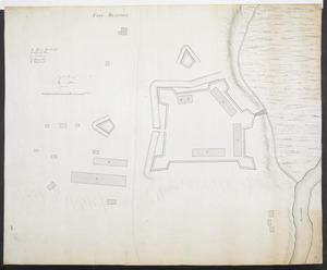
Brasier, William
16
Bastide, John Henry, approximately 1700-1770
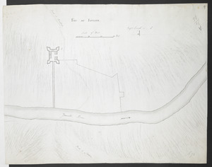
15
more
Creator
»
Format
Maps/Atlases
374
Manuscripts
151
Drawings/Illustrations
15
Georeferenced
Yes
7
No
384
Collection
British Library Collection
376
American Revolutionary War-Era Maps
364
Boston and New England Maps
22
Norman B. Leventhal Map & Education Center Collection
10
Maritime Charts and Atlases
7
Urban Maps
4
Harvard Map Collection
2
Library of Congress Collection
1
more
Collection
»
Available to use
Creative Commons license
380
No known restrictions
10
Search Constraints
Sort by relevance
relevance
title
date (asc)
date (desc)
Number of results to display per page
20 per page
10
per page
20
per page
50
per page
100
per page
View results as:
grid view
map view
Search Results
81.
A Draught of the Fortress building at Crown Point 22.d Oct.t 1759
82.
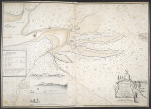
A DRAUGHT of the ISTHMUS which joyns Nova Scotia to the Continent with the Situation of the ENGLISH and FRENCH FORTS & the...
83.
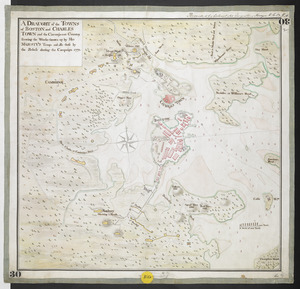
A DRAUGHT of the TOWNS of BOSTON and CHARLES TOWN and the Circumjacent Country shewing the Works thrown up by His MAJESTY'S...
84.
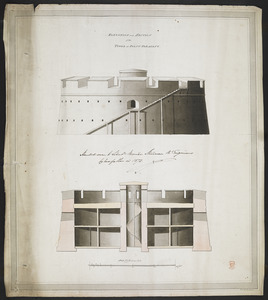
ELEVATION and SECTION of the TOWER at POINT PLEASANT
85.
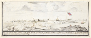
[Entrance to the Harbour of S.t Johns Newfoundland]
86.
An Exact Draught of Bostone harbour, with a Survey of most of the Islands about it
87.
Explanation of the Plans
88.
Explication d'un Esquis des Côtes depuis Oswego jusques a la Baye de Frontenac, et les environs des Isle qui Sont en...
89.
Façade, Elevation, Coupe et Profil, pris sur la ligne a.b. du plan de l'hopital projetté a Faire a la Nouvelle Orleans
90.
Fort at Carlisle
91.
FORT AT IUNIATA
92.
Fort at Shippensburgh
93.
Fort Augusta
94.
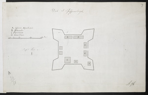
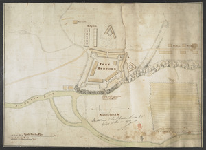
FORT BEDFORD
95.
FORT BEDFORD
96.
[Fort Bedford, on the Juniata Creek]
97.
Fort Edward
98.
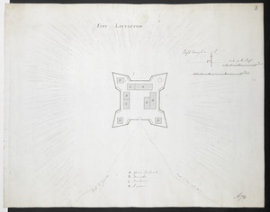
FORT LITTLETON
99.
[Fort Pitt]
100.
Fort William & Mary on Piscataqua River in the Province of New Hampshire on the Continent of America
‹ Prev
Next ›
1
2
3
4
5
6
7
8
9
…
19
20

![[Entrance to the Harbour of S.t Johns Newfoundland]](https://bpldcassets.blob.core.windows.net/derivatives/images/commonwealth:6108vv35z/image_thumbnail_300.jpg)

![[Fort Bedford, on the Juniata Creek]](https://bpldcassets.blob.core.windows.net/derivatives/images/commonwealth:hx11z402t/image_thumbnail_300.jpg)

![[Fort Pitt]](https://bpldcassets.blob.core.windows.net/derivatives/images/commonwealth:hx11xz65w/image_thumbnail_300.jpg)