Toggle navigation
LMEC Home
Exhibitions
Georeferencing
Tools for Teachers
Collections
My Favorites
Sign Up / Log In
Search
Search the map portal
Map Collection
Map Collection
Map Sets
Search
Search
Search for
Search In
All Fields
Creator
Title
Subject
Place
Search All Digital Collections
Advanced Search
9123 Results
My Search
Start Over
More Like
commonwealth:ht250q02z
Remove constraint More Like: commonwealth:ht250q02z
Filter your Search
Place
North and Central America
6,354
United States
5,270
Massachusetts
2,193
Suffolk (county)
1,469
Boston
1,442
Europe
1,396
Canada
449
Asia
438
more
Place
»
Topic
Boston (Mass.)--Maps
752
City planning--Massachusetts--Boston--Maps
418
United States--Maps
282
Urban renewal--Massachusetts--Boston--Maps
252
Real property--Massachusetts--Boston--Maps
225
Massachusetts--Maps
166
Landowners--Massachusetts--Boston--Maps
144
New England--Maps
104
more
Topic
»
Date
Date range begin
–
Date range end
Current results range from
1482
to
2023
View distribution
Creator
United States. Hydrographic Office
595
Boston Redevelopment Authority
398
O.H. Bailey & Co
148
Des Barres, Joseph F. W. (Joseph Frederick Wallet), 1722-1824
124
United States. Post Office Dept
120
Ptolemy, 2nd cent
100
Walling, Henry Francis, 1825-1888
94
Geological Survey (U.S.)
87
more
Creator
»
Format
Maps/Atlases
9,063
Manuscripts
215
Prints
56
Books
36
Objects/Artifacts
10
Drawings/Illustrations
8
Posters
5
Georeferenced
Yes
885
No
8,238
Collection
Norman B. Leventhal Map & Education Center Collection
8,723
Boston and New England Maps
2,619
Urban Maps
2,401
Maritime Charts and Atlases
1,083
American Revolutionary War-Era Maps
638
Boston Redevelopment Authority Collection
453
Mapping Boston Collection
20
Massachusetts Real Estate Atlases
12
more
Collection
»
Available to use
No known restrictions
8,926
Creative Commons license
70
Search Constraints
Sort by relevance
relevance
title
date (asc)
date (desc)
Number of results to display per page
20 per page
10
per page
20
per page
50
per page
100
per page
View results as:
grid view
map view
Search Results
5001.
Map of the Sodus Canal, and the internal improvements connecting with it forming the great route from the Atlantic to the Lakes
5002.
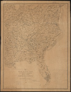
Map of the south Atlantic coast and a portion of the territory tributary thereto : to accompany proceedings of South Atlantic...
5003.
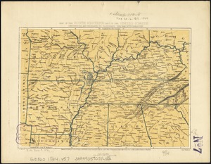
Map of the South Mountain and Boston Railroad & connections showing territory passed through, rail-roads and canals crossed or...
5004.
Map of the south western part of the United States : constructed and engraved to illustrate "The War with the South"
5005.
Map of the southern states of America, comprehending Maryland, Virginia, Kentucky, Territory s'th of the Ohio, North Carolina,...
5006.
Map of the Southern States, showing the relative proportion of slaves in the different localities
5007.
Map of the south-western part of British Columbia
5008.
Map of the state of Alabama
5009.
Map of the state of Georgia
5010.
Map of the state of Illinois
5011.
Map of the state of Louisiana
5012.
Map of the state of Maine : exhibiting the disputed territory in connexion with the adjacent British provinces of N. Brunswick...
5013.
Map of the state of Maine
5014.
A map of the state of Maine
5015.
Map of the state of Maine with the province of New Brunswick
5016.
[Map] of the state of Massachusetts
5017.
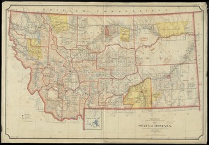
Map of the State of Montana
5018.
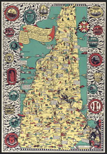
Map of the state of New Hampshire : looking over our whole country from east to west, let me ask if such a map was ever before...
5019.
Map of the state of New York
5020.
Map of the State of New York
‹ Prev
Next ›
1
2
…
247
248
249
250
251
252
253
254
255
…
456
457


![[Map] of the state of Massachusetts](https://bpldcassets.blob.core.windows.net/derivatives/images/commonwealth:wd376589g/image_thumbnail_300.jpg)