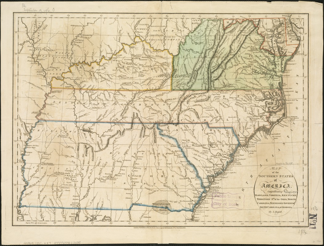
Map of the southern states of America, comprehending Maryland, Virginia, Kentucky, Territory s'th of the Ohio, North Carolina, Tennessee Governm't., South Carolina, & Georgia
This map is also available in American Revolutionary Geographies Online (ARGO), a collections portal especially built for material relating to the American Revolutionary War Era. Visit ARGO to learn more about this item and explore the historical geography of North America in the late eighteenth century.
Item Information
- Title:
- Map of the southern states of America, comprehending Maryland, Virginia, Kentucky, Territory s'th of the Ohio, North Carolina, Tennessee Governm't., South Carolina, & Georgia
- Creator:
- Russell, John, fl. 1733-1795
- Name on Item:
-
by J. Russell.
- Date:
-
1795
- Format:
-
Maps/Atlases
- Location:
-
Boston Public Library
Norman B. Leventhal Map & Education Center - Collection (local):
-
Norman B. Leventhal Map & Education Center Collection
- Subjects:
-
Southern States--Maps--Early works to 1800
- Places:
-
Southern United States (area)
- Extent:
- 1 map : col. ; 36 x 49 cm.
- Terms of Use:
-
No known copyright restrictions.
No known restrictions on use.
- Publisher:
-
London :
H.D. Symonds
- Scale:
-
Scale not given
- Language:
-
English
- Notes:
-
Relief shown pictorially.
"Russell del. et sculp."
From: An historical, geographical, commercial, and philosophical view of the United States of America / W. Winterbotham. New York : Printed by Tiebout and O'Brien, for J. Reid, 1796. Vol. 3, p. 1.
Prime meridian: London.
- Identifier:
-
06_01_006282
- Call #:
-
G3865 1795 .R87
- Barcode:
-
39999059022085


