Toggle navigation
LMEC Home
Exhibitions
Georeferencing
Tools for Teachers
Collections
My Favorites
Sign Up / Log In
Search
Search the map portal
Map Collection
Map Collection
Map Sets
Search
Search
Search for
Search In
All Fields
Creator
Title
Subject
Place
Search All Digital Collections
Advanced Search
8198 Results
My Search
Start Over
More Like
commonwealth:ht24zz35n
Remove constraint More Like: commonwealth:ht24zz35n
Filter your Search
Place
North and Central America
4,947
United States
3,637
Suffolk (county)
1,061
Boston
1,034
Europe
963
Canada
427
Massachusetts
284
France
269
more
Place
»
Topic
Boston (Mass.)--Maps
574
United States--Maps
270
Real property--Massachusetts--Boston--Maps
181
Massachusetts--Maps
160
Landowners--Massachusetts--Boston--Maps
132
North America--Maps--Early works to 1800
103
New England--Maps
99
City planning--Massachusetts--Boston--Maps
97
more
Topic
»
Date
Date range begin
–
Date range end
Current results range from
1482
to
2023
View distribution
Creator
United States. Hydrographic Office
357
O.H. Bailey & Co
148
Des Barres, Joseph F. W. (Joseph Frederick Wallet), 1722-1824
123
United States. Post Office Dept
120
Boston Redevelopment Authority
103
Ptolemy, 2nd cent
100
Walling, Henry Francis, 1825-1888
94
Jefferys, Thomas, -1771
84
more
Creator
»
Format
Maps/Atlases
8,139
Manuscripts
215
Prints
51
Books
36
Objects/Artifacts
10
Drawings/Illustrations
8
Posters
4
Georeferenced
Yes
869
No
7,329
Collection
Norman B. Leventhal Map Center Collection
8,163
Boston and New England Maps
2,219
Urban Maps
1,960
Maritime Charts and Atlases
750
American Revolutionary War-Era Maps
616
Boston Redevelopment Authority Collection
121
Available to use
No known restrictions
8,057
Creative Commons license
46
Search Constraints
Sort by relevance
relevance
title
date (asc)
date (desc)
Number of results to display per page
20 per page
10
per page
20
per page
50
per page
100
per page
View results as:
grid view
map view
Search Results
61.
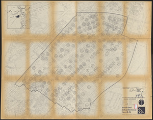
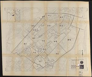
South End urban renewal area R-56 : building deficiencies
62.
South End urban renewal area R-56 : existing land use
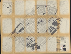
63.
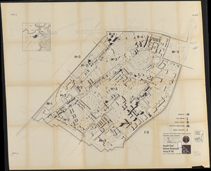
South End urban renewal area R-56 : building conditions
64.
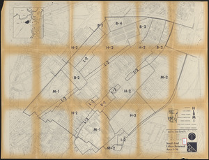
South End urban renewal area R-56 : building conditions
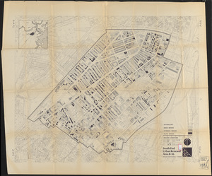
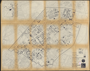
65.
South End urban renewal area R-56 : existing zone districts
66.
South End urban renewal area R-56 : existing zone districts
67.
South End urban renewal area R-56 : existing zone districts
68.
The 100th anniversary map of Abraham Lincoln's visit to Massachusetts, September 11-23, 1848
69.
1630 shoreline
70.
1879. Progress map of the U.S. Geographical Surveys west of the 100th Meridian : prepared under the direction of 1st Lieut....
71.
1903 Map of Salem and surrounding places
72.
19th annual convention of the National Association of Real Estate Boards : at Tulsa, June 7 to June 11 in 1926
73.
2005 significant U.S. hurricane strikes
74.
The 2100 project : an atlas for the Green New Deal
75.
227 Harzgerode
76.
305 Glatz
77.
38,000,000 escaped -- 10,000,000 died
78.
4 Kinten
79.
660 Wakulah St., Roxbury
80.
[A chart of Boston Bay and vicinity]
‹ Prev
Next ›
1
2
3
4
5
6
7
8
…
409
410


![[A chart of Boston Bay and vicinity]](https://bpldcassets.blob.core.windows.net/derivatives/images/commonwealth:cj82m2976/image_thumbnail_300.jpg)