Toggle navigation
LMEC Home
Exhibitions
Georeferencing
Tools for Teachers
Collections
My Favorites
Sign Up / Log In
Search
Search the map portal
Map Collection
Map Collection
Map Sets
Search
Search
Search for
Search In
All Fields
Creator
Title
Subject
Place
Search All Digital Collections
Advanced Search
320 Results
My Search
Start Over
More Like
commonwealth:hq37vw00x
Remove constraint More Like: commonwealth:hq37vw00x
Filter your Search
Place
North America
228
North and Central America
226
United States
63
New England
24
Massachusetts
17
Canada
16
New York
10
Rhode Island
8
more
Place
»
Topic
North America--Maps--Early works to 1800
240
Great Britain--Colonies--America--Maps--Early works to 1800
18
New England--Maps--Early works to 1800
18
United States--Maps--Early works to 1800
13
World maps--Early works to 1800
13
America--Maps--Early works to 1800
12
Canada--Maps--Early works to 1800
11
British--America--Maps--Early works to 1800
10
more
Topic
»
Date
Date range begin
–
Date range end
Current results range from
1482
to
1990
View distribution
Creator
Mitchell, John, 1711-1768
17
Sayer, Robert, 1725-1794
15
Gibson, J. (John), active 1750-1792
14
Jefferys, Thomas, -1771
14
Bowen, Emanuel, 1693 or 1694-1767
11
Moll, Herman, d. 1732
11
Anville, Jean Baptiste Bourguignon d', 1697-1782
10
Palairet, Jean, 1697-1774
8
more
Creator
»
Format
Maps/Atlases
320
Manuscripts
2
Books
1
Georeferenced
Yes
13
No
307
Collection
American Revolutionary War-Era Maps
198
Norman B. Leventhal Map & Education Center Collection
113
Sidney R. Knafel Map Collection at Phillips Academy
87
MacLean Collection Map Library
59
New York Public Library Collection
32
Richard H. Brown Revolutionary War Map Collection at Mount Vernon
18
Mapping Boston Collection
10
British Library Collection
3
more
Collection
»
Available to use
No known restrictions
107
Creative Commons license
64
Search Constraints
Sort by relevance
relevance
title
date (asc)
date (desc)
Number of results to display per page
20 per page
10
per page
20
per page
50
per page
100
per page
View results as:
grid view
map view
Search Results
61.
Le Canada, ou Nouvelle France, la Floride, la Virginie, Pensilvanie, Caroline, Nouvelle Angleterre et Nouvelle Yorck, l'Isle de...
62.
Carta del Mar Pacifico del nord che comprendela costa nord est d'Asia e la costa-nord ouest d'America riconosciute nel 1778 e79...
63.
Carte de la Louisiane et des pays voisins : dédiée à M. Rouillé, sécretaire d'État, ayant le Département de la marine
64.
Carte de la Louisiane et des pays voisins dédiée à M. Rouillé sécretaire d'état, ayant le Département de la marine
65.
Carte de la Nouuelle France, augmentée depuis la derniere, seruant a la navigation faicte en son vray Meridien
66.
Carte de la Nouuelle France et de la Louisiane nouuellement découuerte : dediée au Roy l'an 1683
67.
Carte de la Nouvelle France ou se voit le cours des grandes rivieres de S. Laurens & de Mississipi aujour d'hui S. Louis, aux...
68.
Carte de la partie septentrionale et occidentale de l' Amerique
69.
Carte de l'Amérique septentrionale, 1754
70.
Carte de l'Amérique septentrionale, depuis la baye d'Hudson jusqu'au Mississipi : pour servir aux essais historiques et...
71.
Carte de l'Amerique Septentrionale depuis le 28 degre de latitude jusqu'au 7
72.
Carte de l'Amérique Septle. pour servir à l'intelligence de la guerre entre les Anglois et les insurgents
73.
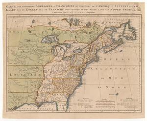
Carte des possessions angloises & françoises du continent de l'Amérique septentrionale = Kaart van de Engelsche en Fransche...
74.
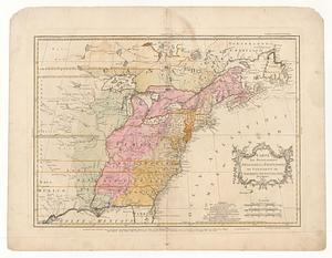
Carte des possessions angloises & françoises du continent de l'Amerique Septentrionale = Kaart van de engelsche en fransche...
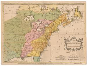
75.
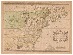
Carte des possessions angloises & françoises du continent de l'Amérique Septentrionale
76.
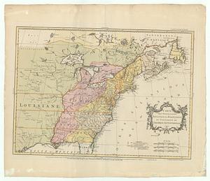
Carte des possessions angloises & françoises du continent de l'Amérique Septentrionale = A map of the British and French...
77.
Carte des possessions angloises & françoises du continent de l'Amérique Septentrionale
78.
Carte des possessions angloises & françoises du continent de l'Amérique Septentrionale
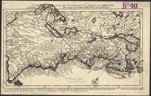
79.
Carte des possessions angloises dans l'Amerique Septentrionale pour servir d'intelligence à la guerre presente traduite de...
80.
Carte des possessions des Anglois en Amerique, par rapport à leurs differends avec la France
‹ Prev
Next ›
1
2
3
4
5
6
7
8
…
15
16