Search Constraints
Search Results


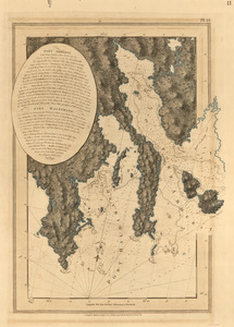
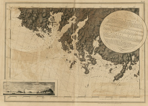
11. Charlotte Bay
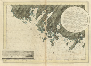
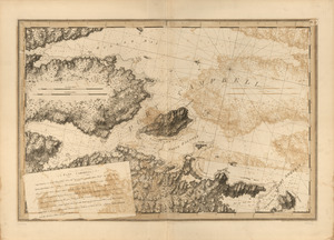
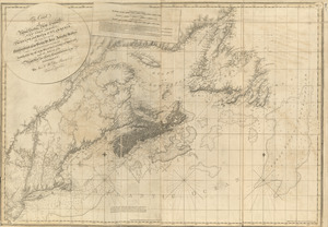
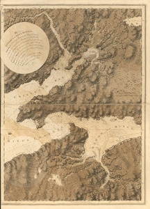
![[Chignecto Bay and vicinity]](https://bpldcassets.blob.core.windows.net/derivatives/images/commonwealth:z603vj91v/image_thumbnail_300.jpg)

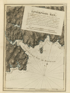
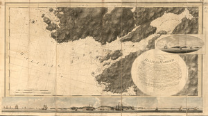
16. Liverpool Bay
19. Port Campbell
20. Sandwich Bay
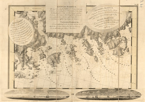
![[Torbay]](https://bpldcassets.blob.core.windows.net/derivatives/images/commonwealth:z603vj992/image_thumbnail_300.jpg)
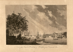
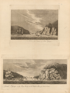
21. [Torbay]
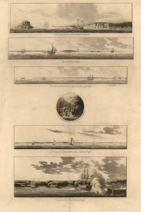

25. White Haven


30. Port Campbell
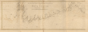
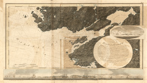
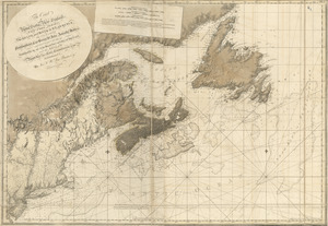
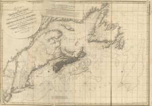
![[Southwest coast of Nova Scotia from Cape Sable to Cape St. Mary]](https://bpldcassets.blob.core.windows.net/derivatives/images/commonwealth:t722hs72c/image_thumbnail_300.jpg)

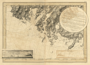
![[Chignecto Bay and vicinity]](https://bpldcassets.blob.core.windows.net/derivatives/images/commonwealth:z603vj89t/image_thumbnail_300.jpg)


40. Egmont Harbor

41. Egmont Harbor
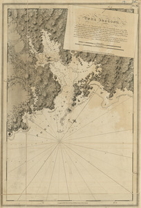
47. Port Jackson