Toggle navigation
LMEC Home
Exhibitions
Georeferencing
Tools for Teachers
Collections
My Favorites
Sign Up / Log In
Search
Search the map portal
Map Collection
Map Collection
Map Sets
Search
Search
Search for
Search In
All Fields
Creator
Title
Subject
Place
Search All Digital Collections
Advanced Search
474 Results
My Search
Start Over
More Like
commonwealth:dn403j96s
Remove constraint More Like: commonwealth:dn403j96s
Filter your Search
Place
North and Central America
394
United States
275
Canada
96
North America
86
New York
24
Pennsylvania
19
Asia
17
Great Lakes Region
16
more
Place
»
Topic
United States--Maps--Early works to 1800
103
Canada--Maps--Early works to 1800
79
North America--Maps--Early works to 1800
77
Great Lakes Region (North America)--Maps--Early works to 1800
17
New England--Maps--Early works to 1800
12
Northeastern States--Maps--Early works to 1800
12
Pennsylvania--Maps--Early works to 1800
12
Great Britain--Colonies--America--Maps--Early works to 1800
9
more
Topic
»
Date
Date range begin
–
Date range end
Current results range from
1618
to
1999
View distribution
Creator
Bellin, Jacques Nicolas, 1703-1772
27
Jefferys, Thomas, -1771
20
Robert Sayer and John Bennett (Firm)
19
Faden, William, 1749-1836
16
Gibson, J. (John), active 1750-1792
14
Carleton, Osgood, 1742-1816
13
Bowles, Carington, 1724-1793
11
Mitchell, John, 1711-1768
11
more
Creator
»
Format
Maps/Atlases
472
Manuscripts
5
Paintings
3
Ephemera
1
Objects/Artifacts
1
Prints
1
Georeferenced
Yes
5
No
469
Collection
American Revolutionary War-Era Maps
406
MacLean Collection Map Library
379
Norman B. Leventhal Map & Education Center Collection
46
New York Public Library Collection
17
Richard H. Brown Revolutionary War Map Collection at Mount Vernon
11
Library and Archives Canada Collection
8
New-York Historical Society Collection
4
Mapping Boston Collection
3
more
Collection
»
Available to use
No known restrictions
47
Creative Commons license
36
Search Constraints
Sort by relevance
relevance
title
date (asc)
date (desc)
Number of results to display per page
20 per page
10
per page
20
per page
50
per page
100
per page
View results as:
grid view
map view
Search Results
181.
Amérique Méridionale
182.
Amérique Septentrionale
183.
Amerique Septentrionale avec les routes, distances en miles, villages et etablissements françois et anglois = North America
184.
Amerique Septentrionale avec les routes, distances en miles, villages et etablissements françois et anglois = North America
185.
Amerique Septentrionale avec les routes, distances en miles, villages et etablissements françois et anglois = North America
186.
Amerique Septentrionale avec les routes, distances en miles, villages et etablissements françois et anglois = North America
187.
Amerique Septentrionale avec les routes, distances en miles, villages et etablissements françois et anglois = North America
188.
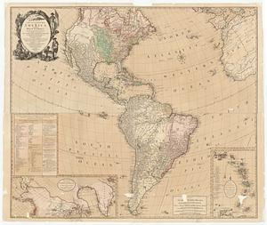
L'Amerique Septentrionale divisee en ses principaux etats
189.
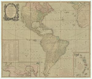
L'Amerique Septentrionale, dressée sur les mémoires les plus récens des meilleurs geographes
190.
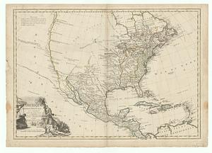
L'Amérique Septentrionale, ou se remarquent les Etats Unis
191.
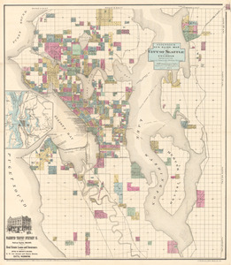
Anderson’s new guide map of the city of Seattle and environs
192.
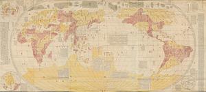
Bankoku yochi zu
193.
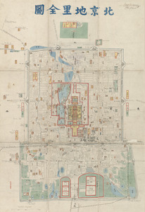
Beijing dili quantu
194.
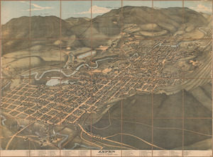
Bird’s eye view of Aspen, Pitkin Co. Colo. 1893
195.
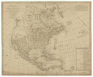
Bowles's new four-sheet map of America, and the West Indies, wherein are particularly ascertained the limits and extent of the...
196.
Bowles's new four-sheet map of America, and the West Indies, wherein are particularly ascertained the limits and extent of the...
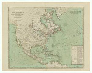
197.
Bowles's new one-sheet map of America, divided into it's provinces, colonies, states, &c.
198.
Bowles's new pocket map of North America divided into it's provinces, colonies, &c.
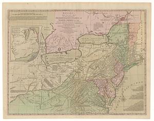
199.
Bowles's new pocket map of the following independent states of North America, viz. Virginia, Maryland, Delaware, Pensylvania,...
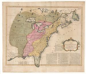
200.
The British & French dominions in North America particularly shewing the French encroachments through all the British...
‹ Prev
Next ›
1
2
…
6
7
8
9
10
11
12
13
14
…
23
24