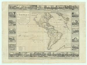
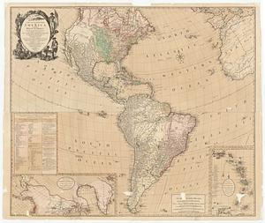
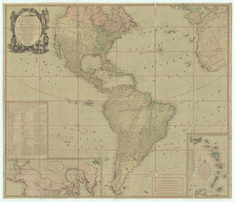
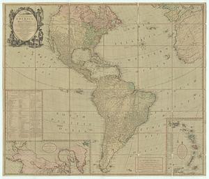
Bowles's new four-sheet map of America, and the West Indies, wherein are particularly ascertained the limits and extent of the United States, reserved territory, and European possessions as settled by the last treaty of peace : to which are annexed a particular draft of the Caribbee Islands, and a continuation of the northern continent to it's utmost known extent, and nearest approximation to Europe and Asia ; the whole divided into it's kingdoms, states, governments, &c. according to the best authorities, a number of actual surveys, and other original materials
This map is also available in American Revolutionary Geographies Online (ARGO), a collections portal especially built for material relating to the American Revolutionary War Era. Visit ARGO to learn more about this item and explore the historical geography of North America in the late eighteenth century.
Item Information
- Title:
- Bowles's new four-sheet map of America, and the West Indies, wherein are particularly ascertained the limits and extent of the United States, reserved territory, and European possessions as settled by the last treaty of peace : to which are annexed a particular draft of the Caribbee Islands, and a continuation of the northern continent to it's utmost known extent, and nearest approximation to Europe and Asia ; the whole divided into it's kingdoms, states, governments, &c. according to the best authorities, a number of actual surveys, and other original materials
- Publisher:
- Bowles, Carington, 1724-1793
- Date:
-
1790
- Format:
-
Maps/Atlases
- Location:
- MacLean Collection Map Library
- Collection (local):
-
MacLean Collection Map Library
- Subjects:
-
America--Maps--Early works to 1800
- Places:
-
Americas (area)
- Extent:
- 1 map ; 1041 x 1219 mm
- Terms of Use:
-
Public Domain/No known restrictions on use. Contact host institution to download image.
Contact host institution for more information.
- Publisher:
-
London :
Bowles, Carington
- Language:
-
English
- Identifier:
-
MC_2826
- Call #:
-
2826