Toggle navigation
LMEC Home
Exhibitions
Georeferencing
Tools for Teachers
Collections
My Favorites
Sign Up / Log In
Search
Search the map portal
Map Collection
Map Collection
Map Sets
Search
Search
Search for
Search In
All Fields
Creator
Title
Subject
Place
Search All Digital Collections
Advanced Search
857 Results
My Search
Start Over
More Like
commonwealth:d7920269f
Remove constraint More Like: commonwealth:d7920269f
Filter your Search
Place
North and Central America
804
United States
644
New York
131
New England
130
Canada
86
New Jersey
79
North America
69
Massachusetts
49
more
Place
»
Topic
United States--History--Revolution, 1775-1783--Maps
330
New England--Maps
127
North America--Maps--Early works to 1800
59
Railroads--New England--Maps
50
United States--Maps--Early works to 1800
44
New Jersey--Maps
40
Canada--Maps--Early works to 1800
38
New York (State)--Maps
35
more
Topic
»
Date
Date range begin
–
Date range end
Current results range from
1623
to
2015
View distribution
Creator
Faden, William, 1749-1836
21
Robert Sayer and John Bennett (Firm)
19
Jefferys, Thomas, -1771
18
Clinton, Henry, Sir, 1738?-1795
17
Bellin, Jacques Nicolas, 1703-1772
16
Gibson, J. (John), active 1750-1792
14
Hills, John, active 1777-1819
14
Montrésor, John, 1736-1799
14
more
Creator
»
Format
Maps/Atlases
850
Manuscripts
9
Drawings/Illustrations
5
Paintings
3
Ephemera
1
Objects/Artifacts
1
Prints
1
Georeferenced
Yes
35
No
822
Collection
American Revolutionary War-Era Maps
673
MacLean Collection Map Library
379
William L. Clements Library Collection
310
Norman B. Leventhal Map & Education Center Collection
132
Boston and New England Maps
83
American Antiquarian Society Collection
19
David Judkins Weaver Papers
4
Sidney R. Knafel Map Collection at Phillips Academy
4
more
Collection
»
Available to use
No known restrictions
134
Creative Commons license
8
Search Constraints
Sort by relevance
relevance
title
date (asc)
date (desc)
Number of results to display per page
20 per page
10
per page
20
per page
50
per page
100
per page
View results as:
grid view
map view
Search Results
241.
Lines of Charleston
242.
Long Island
243.
Map of New York I. with the adjacent rocks and other remarkable parts of Hell-Gate
244.
A map of that part of Pensylvania now the principle seat of war in America wherein may be seen the situation of Philadelphia,...
245.
A map of the country adjacent to Kingsbridge, surveyed by order of his excellency General Sir Henry Clinton K.B., commander in...
246.
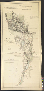
A map of the environs of Boston
247.
A map of the environs of Brooklyn : surveyed by order of his excellency General Sir Henry Clinton K.B., commander in chief of...
248.
A map of the pass at Jamaica, Long Island : surveyed by order of his excellency General Sir Henry Clinton K:B: commander in...
249.
Map of the powers at war with Great Britain, 1783
250.
Map of the seat of the late war at Boston in the state of Massachusetts
251.
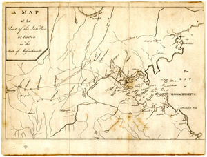
A Map of the seat of the late war at Boston in the state of Massachusetts
252.
Map of the vicinity of Yorktown, Virginia, 1881
253.
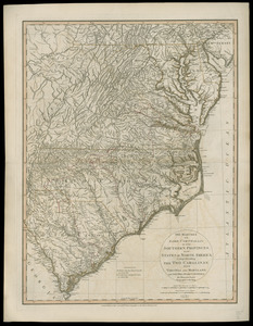
The marches of Lord Cornwallis in the Southern Provinces, now states of North America : comprehending the two Carolinas, with...
254.
Monmouth County, New Jersey
255.
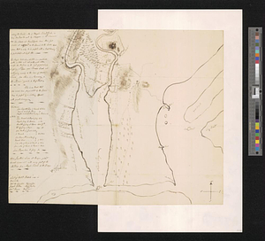
Moore's sketch of the navigation of the Highlands
256.
Narragansett Bay and Rhode Island
257.
A new and correct plan of the town of Boston
258.
The New York campaign of 1776
259.
The New York campaign of 1776
260.
Newark Bay and its immediate vicinity
‹ Prev
Next ›
1
2
…
9
10
11
12
13
14
15
16
17
…
42
43